Category:1907 maps of India
Jump to navigation
Jump to search
Countries of Asia: People's Republic of China · Egypt‡ · India
Limited recognition: Taiwan
‡: partly located in Asia
Limited recognition: Taiwan
‡: partly located in Asia
| ← 1903 1904 1905 1907 1908 1909 → |
English: 1907 maps made in India or from India or showing history of India
Media in category "1907 maps of India"
The following 16 files are in this category, out of 16 total.
-
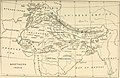
 1907 Nepal with part of Tibet by Survey of India-1.jpg 10,454 × 7,302; 5.13 MB
-
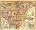
 1907-bengal-sikkim3.jpg 975 × 1,200; 344 KB
-
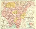
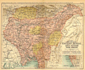
 1907-east-bengal-assam3.jpg 1,200 × 994; 405 KB
-
 AgraFamine1837-38BoundaryMap.jpg 1,000 × 1,215; 377 KB
-
 Bengal gazetteer 1907-9.jpg 2,000 × 1,612; 854 KB
-
 Bengal gazetteer 1907.jpg 1,000 × 806; 749 KB
-
 Golden langur habitats2.jpg 712 × 1,200; 303 KB
-
 IGI1908Beluchistan2.jpg 1,200 × 995; 372 KB
-
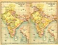
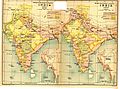
 India and adjacent countries, 1907 (13441003).jpg 26,010 × 20,306; 206.87 MB
-

-
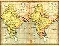 India1765and1805b.jpg 1,227 × 950; 307 KB
-
 India1837to1857.jpg 1,232 × 958; 323 KB
-
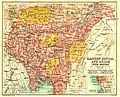
 Joppen1907BritishBengalBritishBurmaA.jpg 877 × 1,200; 238 KB
-
 Kamapitha maps.gif 1,200 × 994; 8.08 MB
-
 Map BEIC 1837-1857.jpg 1,249 × 929; 249 KB
-
 Natives of northern India (1907) (14761947361).jpg 2,432 × 1,572; 709 KB


.jpg)
_(1907)_(14779427031).jpg)


_(14761947361).jpg)