Category:Locator maps of districts of the South Island
Jump to navigation
Jump to search
Media in category "Locator maps of districts of the South Island"
The following 56 files are in this category, out of 56 total.
-
 Ashburton DC.PNG 289 × 375; 27 KB
-
 Ashburton Territorial Authority.png 520 × 677; 11 KB
-
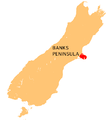 Banks Peninsula Map.png 440 × 497; 32 KB
-
 Buller DC.PNG 289 × 375; 27 KB
-
 Buller Territorial Authority.PNG 520 × 677; 19 KB
-
 Central Otago DC.PNG 289 × 375; 27 KB
-
 Central Otago Territorial Authority.png 520 × 677; 11 KB
-
 Chatham Islands C.PNG 289 × 375; 27 KB
-
 Christchurch CC.PNG 289 × 375; 27 KB
-
 Christchurch City.png 460 × 599; 17 KB
-
 Clutha DC.PNG 289 × 375; 27 KB
-
 Clutha District.svg 520 × 677; 17 KB
-
 Clutha Territorial Authority.png 520 × 677; 13 KB
-
 Dunedin CC.PNG 289 × 375; 27 KB
-
 Dunedin City.png 520 × 677; 12 KB
-
 Gore DC.PNG 289 × 375; 27 KB
-
 Gore District.svg 460 × 599; 76 KB
-
 Gore Territorial Authority.png 520 × 677; 13 KB
-
 Grey DC.PNG 289 × 375; 27 KB
-
 Grey Territorial Authority.PNG 520 × 677; 19 KB
-
 Hurunui DC.PNG 289 × 375; 27 KB
-
 Hurunui District.svg 520 × 677; 17 KB
-
 Hurunui Territorial Authority.png 520 × 677; 13 KB
-
 Invercargill CC.PNG 289 × 375; 27 KB
-
 Invercargill.png 520 × 677; 11 KB
-
 Kaikoura DC.PNG 289 × 375; 27 KB
-
 Kaikoura District.svg 460 × 599; 48 KB
-
 Kaikoura Territorial Authority.png 520 × 677; 13 KB
-
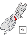
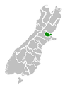
 Mackenzie DC.PNG 289 × 375; 27 KB
-
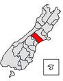
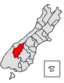
 Mackenzie District.svg 520 × 677; 17 KB
-
 Mackenzie Territorial Authority.png 520 × 677; 13 KB
-
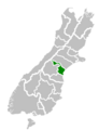
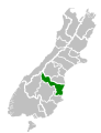
 Marlborough DC.PNG 289 × 375; 27 KB
-
 Marlborough Territorial Authority.png 520 × 677; 13 KB
-
 Nelson CC.PNG 289 × 375; 27 KB
-
 Nelson City.png 520 × 677; 13 KB
-
 NZ Territorial Authorities South Island.png 860 × 880; 155 KB
-
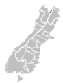
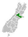
 NZElectorate2005-Aoraki.png 150 × 150; 7 KB
-
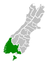
 Queenstown-Lakes DC.png 289 × 375; 27 KB
-
 Selwyn DC.PNG 289 × 375; 27 KB
-
 Selwyn Territorial Authority.png 520 × 677; 11 KB
-
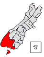 Southland DC.PNG 289 × 375; 27 KB
-
 Southland Territorial Authority.png 520 × 677; 11 KB
-
 Tasman DC.PNG 289 × 375; 27 KB
-
 Tasman Territorial Authority.png 520 × 677; 13 KB
-
 Timaru DC.PNG 289 × 375; 27 KB
-
 Timaru District.svg 460 × 599; 48 KB
-
 Timaru Territorial Authority.png 520 × 677; 13 KB
-
 Waimakariri DC.PNG 289 × 375; 27 KB
-
 Waimakariri Territorial Authority.png 520 × 677; 11 KB
-
 Waimate DC.PNG 289 × 375; 27 KB
-
 Waimate District.png 520 × 677; 10 KB
-
 Waitaki DC.PNG 289 × 375; 27 KB
-
 Waitaki District.svg 520 × 677; 17 KB
-
 Waitaki Territorial Authority.png 520 × 677; 13 KB
-
 Westland DC.PNG 289 × 375; 27 KB
-
 Westland Territorial Authority.png 520 × 677; 11 KB


