Category:Maps of Ashdod
Jump to navigation
Jump to search
Wikimedia category | |||||
| Upload media | |||||
| Instance of | |||||
|---|---|---|---|---|---|
| Category combines topics | |||||
| Ashdod | |||||
city in Israel   | |||||
| Instance of | |||||
| Location | Ashkelon Subdistrict, Southern District, Israel | ||||
| Head of government |
| ||||
| Inception |
| ||||
| Population |
| ||||
| Area |
| ||||
| Elevation above sea level |
| ||||
| official website | |||||
 | |||||
Media in category "Maps of Ashdod"
The following 24 files are in this category, out of 24 total.
-
 An-Far.jpg 1,170 × 604; 1.32 MB
-
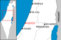
 Ashdod Israel Map.png 285 × 275; 14 KB
-
 Ashdod under Iamani.png 541 × 502; 412 KB
-
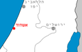 Ashdod-pos.png 209 × 133; 7 KB
-
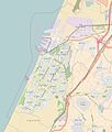 AshdodOSM.jpg 658 × 772; 183 KB
-
 Historical map series for the area of Arab Suqrir (modern).jpg 738 × 742; 153 KB
-
 Israel ashdod location map.svg 516 × 494; 50 KB
-
 Localització d'Asdod.png 300 × 200; 8 KB
-
 Map of Asdod cs.png 300 × 200; 64 KB
-
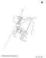 Map of Ashdod2.jpg 1,961 × 2,454; 558 KB
-
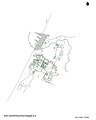 Map of Ashdod3.jpg 1,961 × 2,448; 740 KB
-
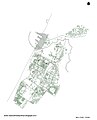
 Map of Ashdod4.jpg 1,961 × 2,418; 857 KB
-
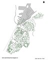
 Map of Ashdod5.jpg 1,961 × 2,436; 1.17 MB
-
 Map of Ashdod6.jpg 1,961 × 2,436; 1.32 MB
-
 Map of Ashdod7.jpg 1,961 × 2,454; 1.53 MB
-
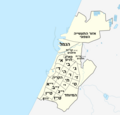 MapOfAshdodQuarters.png 2,139 × 2,048; 366 KB
-
 PikiWiki Israel 74173 yona hill yaffa.jpg 4,805 × 3,126; 4.25 MB
-
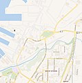
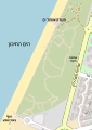
 Map port ashdod.png 1,079 × 1,302; 1.05 MB
-
 Quarters of Ashdod map (Detailed).svg 994 × 1,318; 7.21 MB
-
 Yona Hill Ashdod map Graffiti.jpg 4,624 × 2,080; 5.17 MB
-
 מפת פארק אקולוגי מצודת-ים אשדוד, 2024 OSM.svg 512 × 719; 228 KB
-
 מפת פארק בן-גוריון באשדוד, 2024 OSM.svg 610 × 685; 1.05 MB
-
 פרופ' רובינשטיין בביקור בספרייה העירונית של אשדוד, שנות ה-90.jpg 2,400 × 1,598; 852 KB
-
 רובעי רמזור אשדוד.png 1,287 × 899; 497 KB


.jpg)


.svg)


