Category:Maps of Lügde
Jump to navigation
Jump to search
Wikimedia category | |||||
| Upload media | |||||
| Instance of | |||||
|---|---|---|---|---|---|
| Category combines topics | |||||
| Lügde | |||||
municipality of Germany     | |||||
| Instance of |
| ||||
| Location | Lippe, Detmold Government Region, North Rhine-Westphalia, Germany | ||||
| Population |
| ||||
| Area |
| ||||
| Elevation above sea level |
| ||||
| official website | |||||
 | |||||
Media in category "Maps of Lügde"
The following 25 files are in this category, out of 25 total.
-
 Blomberg - Wälder bei Blomberg - Map.png 1,596 × 1,175; 633 KB
-
 Lokal Ort Lügde.png 288 × 251; 8 KB
-
 Lügde - Bierberg - Map.png 1,633 × 1,925; 244 KB
-
 Lügde - Emmertal - Map.png 713 × 663; 265 KB
-
 Lügde - Ilsenbach - Map.png 1,538 × 955; 349 KB
-
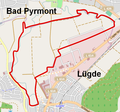
 Lügde - Schildberg - Map.png 1,104 × 858; 417 KB
-
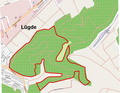
 Lügde - Winzenberg - Map.png 800 × 800; 192 KB
-
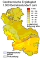 Lügde geothermische Karte.png 500 × 730; 48 KB
-
 Lügde in LIP.svg 520 × 452; 318 KB
-
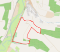 Lügde-NSG Bierberg.png 1,181 × 1,038; 340 KB
-
 Schieder-Schwalenberg - Schwalenberger Wald - Map.png 1,338 × 1,177; 892 KB
-
 North rhine w lip Lügde.png 911 × 818; 413 KB
-
 NSG Wälder bei Blomberg Karte 2015.png 1,442 × 902; 660 KB
-
 Ortsteile Lügde - Elbrinxen.svg 384 × 502; 311 KB
-
 Ortsteile Lügde - Falkenhagen.svg 384 × 502; 311 KB
-
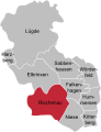
 Ortsteile Lügde - Harzberg.svg 384 × 502; 311 KB
-
 Ortsteile Lügde - Hummersen.svg 384 × 502; 311 KB
-
 Ortsteile Lügde - Köterberg.svg 384 × 502; 311 KB
-
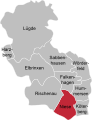
 Ortsteile Lügde - Lügde.svg 384 × 502; 311 KB
-
 Ortsteile Lügde - Niese.svg 384 × 502; 311 KB
-
 Ortsteile Lügde - Rischenau.svg 384 × 502; 311 KB
-
 Ortsteile Lügde - Sabbenhausen.svg 384 × 502; 311 KB
-
 Ortsteile Lügde - Wörderfeld.svg 384 × 502; 311 KB
-
 Ortsteile Lügde.svg 384 × 502; 311 KB
-
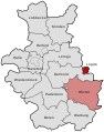 RB Detmold 1949-1968 beschriftet Luegde.svg 570 × 724; 101 KB


