Category:Maps of cantons of France
Jump to navigation
Jump to search
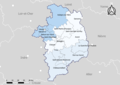
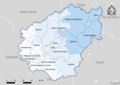
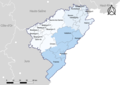
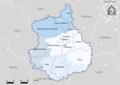
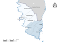
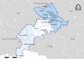
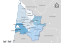
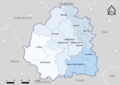
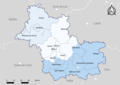
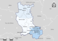
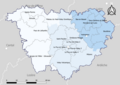
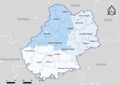
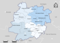
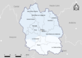
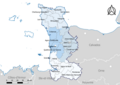
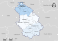
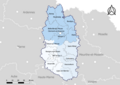
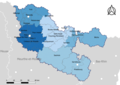
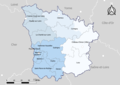
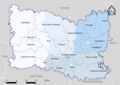
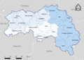
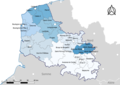
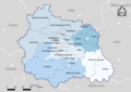
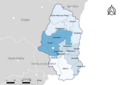
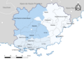
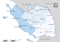
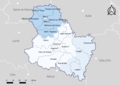
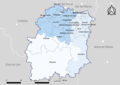
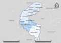
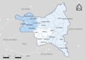
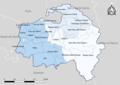
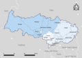
English: This category contains maps of the French cantons within its arrondissement. The INSEE code used here refers to <departement_id> <canton_id>. (See [1] for conversion tables)

Subcategories
This category has the following 6 subcategories, out of 6 total.
*
2
C
Media in category "Maps of cantons of France"
The following 95 files are in this category, out of 95 total.
-
 02-Cantons-2019.png 3,507 × 2,480; 1.2 MB
-
 03-Cantons-2019.png 3,507 × 2,480; 1.17 MB
-
 04-Cantons-2019.png 3,507 × 2,480; 973 KB
-
 05-Cantons-2019.png 3,507 × 2,480; 882 KB
-
 06-Cantons-2019.png 3,507 × 2,480; 779 KB
-
 07-Cantons-2019.png 3,507 × 2,480; 1,011 KB
-
 08-Cantons-2019.png 3,507 × 2,480; 1,021 KB
-
 09-Cantons-2019.png 3,507 × 2,480; 968 KB
-
 10-Cantons-2019.png 3,507 × 2,480; 1.18 MB
-
 11-Cantons-2019.png 3,507 × 2,480; 1.16 MB
-
 12-Cantons-2019.png 3,507 × 2,480; 1.2 MB
-
 13-Cantons-2019.png 3,507 × 2,480; 1.05 MB
-
 14-Cantons-2019.png 3,507 × 2,480; 1.27 MB
-
 15-Cantons-2019.png 3,507 × 2,480; 1.06 MB
-
 16-Cantons-2019.png 3,507 × 2,480; 1.1 MB
-
 17-Cantons-2019.png 3,507 × 2,480; 1.05 MB
-
 18-Cantons-2019.png 3,507 × 2,480; 973 KB
-
 19-Cantons-2019.png 3,507 × 2,480; 1.13 MB
-
 21-Cantons-2019.png 3,507 × 2,480; 1.25 MB
-
 22-Cantons-2019.png 3,507 × 2,480; 1.3 MB
-
 23-Cantons-2019.png 3,507 × 2,480; 1.08 MB
-
 24-Cantons-2019.png 3,507 × 2,480; 1.24 MB
-
 25-Cantons-2019.png 3,507 × 2,480; 1 MB
-
 26-Cantons-2019.png 3,507 × 2,480; 1.02 MB
-
 27-Cantons-2019.png 3,507 × 2,480; 1.38 MB
-
 28-Cantons-2019.png 3,507 × 2,480; 1.08 MB
-
 29-Cantons-2019.png 3,507 × 2,480; 1.22 MB
-
 2A-Cantons-2019.png 3,507 × 2,480; 643 KB
-
 2B-Cantons-2019.png 3,507 × 2,480; 713 KB
-
 30-Cantons-2019.png 3,507 × 2,480; 1.16 MB
-
 31-Cantons-2019.png 3,507 × 2,480; 1.1 MB
-
 32-Cantons-2019.png 3,507 × 2,480; 1.35 MB
-
 33-Cantons-2019.png 3,507 × 2,480; 1.12 MB
-
 34-Cantons-2019.png 3,507 × 2,480; 1.11 MB
-
 35-Cantons-2019.png 3,507 × 2,480; 1.19 MB
-
 36-Cantons-2019.png 3,507 × 2,480; 980 KB
-
 37-Cantons-2019.png 3,507 × 2,480; 944 KB
-
 38-Cantons-2019.png 3,507 × 2,480; 1.14 MB
-
 39-Cantons-2019.png 3,507 × 2,480; 1 MB
-
 40-Cantons-2019.png 3,507 × 2,480; 1,016 KB
-
 41-Cantons-2019.png 3,507 × 2,480; 973 KB
-
 42-Cantons-2019.png 3,507 × 2,480; 1,016 KB
-
 43-Cantons-2019.png 3,507 × 2,480; 1.2 MB
-
 44-Cantons-2019.png 3,507 × 2,480; 1.23 MB
-
 45-Cantons-2019.png 3,507 × 2,480; 859 KB
-
 46-Cantons-2019.png 3,507 × 2,480; 1.09 MB
-
 47-Cantons-2019.png 3,507 × 2,480; 1.17 MB
-
 48-Cantons-2019.png 3,507 × 2,480; 904 KB
-
 49-Cantons-2019.png 3,507 × 2,480; 1.19 MB
-
 50-Cantons-2019.png 3,507 × 2,480; 1.09 MB
-
 51-Cantons-2019.png 3,507 × 2,480; 1.39 MB
-
 52-Cantons-2019.png 3,507 × 2,480; 1.03 MB
-
 53-Cantons-2019.png 3,507 × 2,480; 1.01 MB
-
 54-Cantons-2019.png 3,507 × 2,480; 1.1 MB
-
 55-Cantons-2019.png 3,507 × 2,480; 1.1 MB
-
 56-Cantons-2019.png 3,507 × 2,480; 1.28 MB
-
 57-Cantons-2019.png 3,507 × 2,480; 1.42 MB
-
 58-Cantons-2019.png 3,507 × 2,480; 1.06 MB
-
 59-Cantons-2019.png 3,507 × 2,480; 1.19 MB
-
 60-Cantons-2019.png 3,507 × 2,480; 1.49 MB
-
 61-Cantons-2019.png 3,507 × 2,480; 1.17 MB
-
 62-Cantons-2019.png 3,507 × 2,480; 1.44 MB
-
 63-Cantons-2019.png 3,507 × 2,480; 1.31 MB
-
 64-Cantons-2019.png 3,507 × 2,480; 1.23 MB
-
 65-Cantons-2019.png 3,507 × 2,480; 1,017 KB
-
 66-Cantons-2019.png 3,507 × 2,480; 915 KB
-
 67-Cantons-2019.png 3,507 × 2,480; 1.04 MB
-
 68-Cantons-2019.png 3,507 × 2,480; 864 KB
-
 69-Cantons-2019.png 3,507 × 2,480; 844 KB
-
 70-Cantons-2019.png 3,507 × 2,480; 1.18 MB
-
 71-Cantons-2019.png 3,507 × 2,480; 1.38 MB
-
 72-Cantons-2019.png 3,507 × 2,480; 1.08 MB
-
 73-Cantons-2019.png 3,507 × 2,480; 964 KB
-
 74-Cantons-2019.png 3,507 × 2,480; 1,006 KB
-
 76-Cantons-2019.png 3,507 × 2,480; 1.36 MB
-
 77-Cantons-2019.png 3,507 × 2,480; 1.25 MB
-
 78-Cantons-2019.png 3,507 × 2,480; 1.01 MB
-
 79-Cantons-2019.png 3,507 × 2,480; 1.05 MB
-
 80-Cantons-2019.png 3,507 × 2,480; 1.43 MB
-
 81-Cantons-2019.png 3,507 × 2,480; 1.13 MB
-
 82-Cantons-2019.png 3,507 × 2,480; 1.08 MB
-
 83-Cantons-2019.png 3,507 × 2,480; 1.05 MB
-
 84-Cantons-2019.png 3,507 × 2,480; 881 KB
-
 85-Cantons-2019.png 3,507 × 2,480; 1.15 MB
-
 86-Cantons-2019.png 3,507 × 2,480; 1.03 MB
-
 87-Cantons-2019.png 3,507 × 2,480; 1,006 KB
-
 88-Cantons-2019.png 3,507 × 2,480; 1.18 MB
-
 89-Cantons-2019.png 3,507 × 2,480; 1.09 MB
-
 90-Cantons-2019.png 3,507 × 2,480; 569 KB
-
 91-Cantons-2019.png 3,507 × 2,480; 1,010 KB
-
 92-Cantons-2019.png 3,507 × 2,480; 816 KB
-
 93-Cantons-2019.png 3,507 × 2,480; 887 KB
-
 94-Cantons-2019.png 3,507 × 2,480; 1.05 MB
-
 95-Cantons-2019.png 3,507 × 2,480; 992 KB
-
 Frankreich Kantone 2022.png 3,000 × 2,688; 4.89 MB


