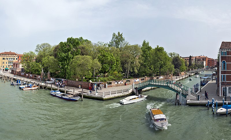
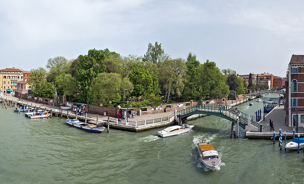
File:Giardini Papadopoli - Rio Novo.jpg
Jump to navigation
Jump to search

Size of this preview: 800 × 484 pixels. Other resolutions: 320 × 194 pixels | 640 × 387 pixels | 1,024 × 620 pixels | 1,280 × 775 pixels | 2,560 × 1,550 pixels | 8,449 × 5,115 pixels.
Original file (8,449 × 5,115 pixels, file size: 28.67 MB, MIME type: image/jpeg)
Captions
Captions
Add a one-line explanation of what this file represents
Summary[edit]
| ||||||||||||||||||||||||


.jpg)
.jpg)

.jpg)
| Annotations | This image is annotated: View the annotations at Commons |
File history
Click on a date/time to view the file as it appeared at that time.
| Date/Time | Thumbnail | Dimensions | User | Comment | |
|---|---|---|---|---|---|
| current | 12:53, 6 May 2013 | | 8,449 × 5,115 (28.67 MB) | Archaeodontosaurus (talk | contribs) | Crop |
| 06:55, 6 May 2013 |  | 8,449 × 6,570 (32.7 MB) | Archaeodontosaurus (talk | contribs) | {{Information |Description ={{en|1=c}} |Source ={{own}} |Author =Archaeodontosaurus |Date = |Permission = |other_versions = }} |
You cannot overwrite this file.
File usage on Commons
The following 13 pages use this file:
- Giardini Papadopoli
- Venezia
- User talk:Archaeodontosaurus/Deuxième trimestre 2013
- Commons:Quality images/Subject/Places/Mixed/Archive2
- Commons:Quality images candidates/Archives May 2013
- Commons:Valued image candidates/Giardini Papadopoli - Rio Novo.jpg
- Commons:Valued images by topic/Places/Cities and towns
- File:Giardini Papadopoli (Venise).jpg
- File:Giardini Papadopoli (arbres).jpg
- File:Giardini Papadopoli - Rio Novo.jpg
- File:Giardini Papadopoli e ponte.jpg
- File:Pietro Paleocapa (venise).jpg
- Category:Giardini Papadopoli
File usage on other wikis
The following other wikis use this file:
- Usage on ca.wikipedia.org
- Usage on cs.wikipedia.org
- Usage on de.wikipedia.org
- Usage on en.wikipedia.org
- Usage on en.wikivoyage.org
- Usage on fr.wikipedia.org
- Usage on hu.wikipedia.org
- Usage on id.wikipedia.org
- Usage on incubator.wikimedia.org
- Usage on it.wikipedia.org
- Usage on it.wikivoyage.org
- Usage on www.wikidata.org