File:2013-08-17 Lago di Fusine superiore -hu- B 4599.jpg
Original file (5,079 × 2,871 pixels, file size: 4.02 MB, MIME type: image/jpeg)
Captions
Captions
Summary[edit]
| Description |
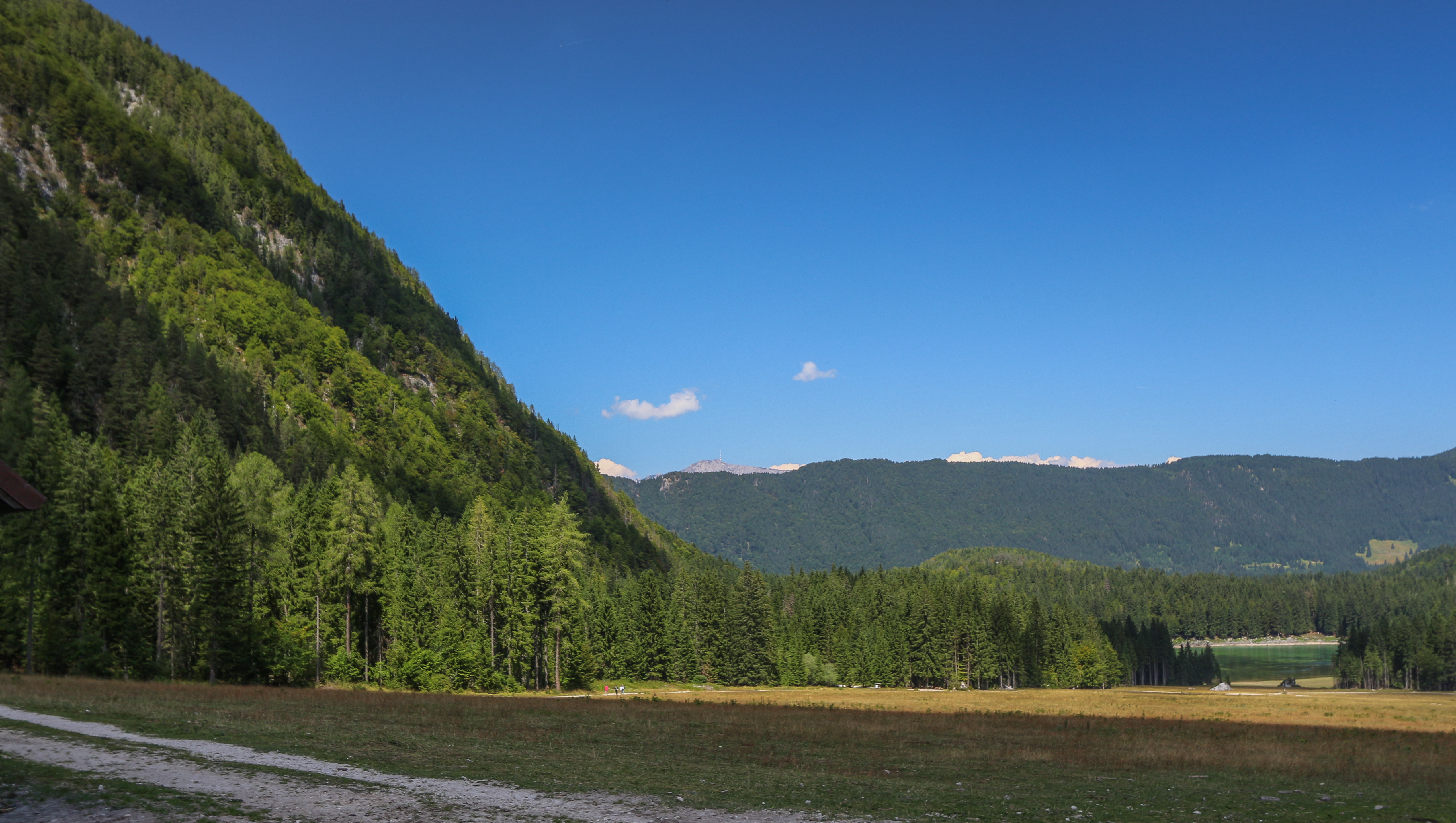
Deutsch: der obere Weißenfelser See, Gemeinde Weißenfels, Tarvis, Friaul English: The dryed alp in Summer at the upper Fusine lake, Fusine di Valromana, Tarvisio, Friuli, View to the north.
|
|||||||||
| Date | ||||||||||
| Source | Own work | |||||||||
| Author | Hubertl | |||||||||
| Permission (Reusing this file) |
|


| Camera location | | View this and other nearby images on: OpenStreetMap |
|---|
Licensing[edit]
- You are free:
- to share – to copy, distribute and transmit the work
- to remix – to adapt the work
- Under the following conditions:
- attribution – You must give appropriate credit, provide a link to the license, and indicate if changes were made. You may do so in any reasonable manner, but not in any way that suggests the licensor endorses you or your use.
- share alike – If you remix, transform, or build upon the material, you must distribute your contributions under the same or compatible license as the original.
| Annotations | This image is annotated: View the annotations at Commons |
File history
Click on a date/time to view the file as it appeared at that time.
| Date/Time | Thumbnail | Dimensions | User | Comment | |
|---|---|---|---|---|---|
| current | 12:26, 18 December 2014 | | 5,079 × 2,871 (4.02 MB) | Hubertl (talk | contribs) |
You cannot overwrite this file.
File usage on Commons
The following page uses this file: