File:2014 09 28 Klausenkapelle an der Gemarkungsgrenze zu Königsbach 2.jpg
Jump to navigation
Jump to search
Size of this preview: 800 × 596 pixels. Other resolutions: 320 × 238 pixels | 640 × 477 pixels | 1,024 × 763 pixels | 1,280 × 954 pixels | 2,560 × 1,907 pixels | 2,899 × 2,160 pixels.
Original file (2,899 × 2,160 pixels, file size: 3.66 MB, MIME type: image/jpeg)
Captions
Captions
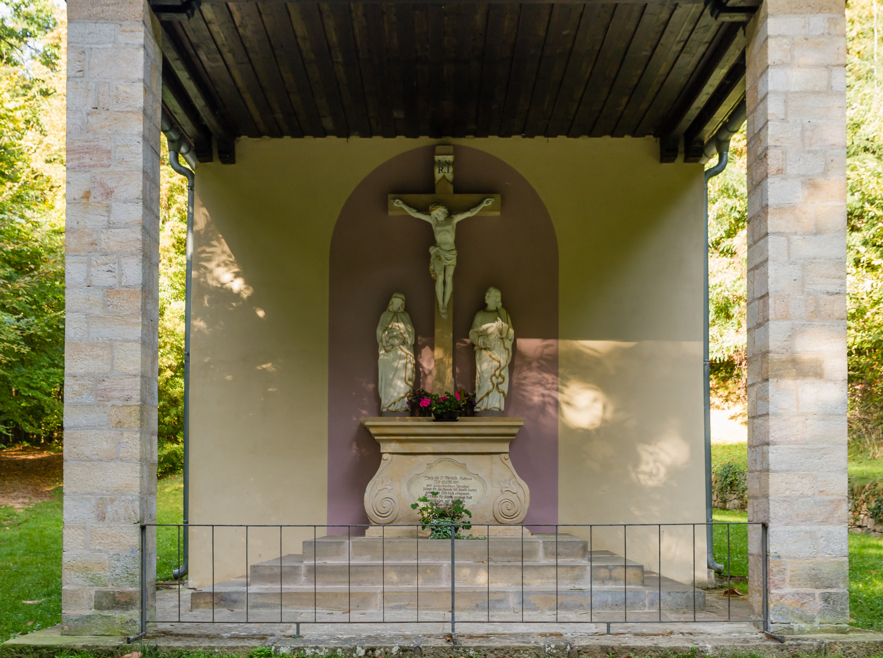
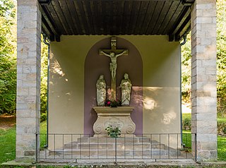
Catholic pilgrimage chapel Fourteen Holy Helpers, so-called Klausenkapelle or hermitage Zeiselbach
Summary[edit]
| Description |
This is a photograph of a cultural monument.
It is on the list of cultural monuments of Ruppertsberg. Designation: Klausenkapelle or Klause Zeiselbach
Place: Local municipality Ruppertsberg, Collective municipality Deidesheim, Rural district Bad Dürkheim, Rhineland-Palatinate, Germany |
||
| Date | Taken on 28 September 2014, 10:14:30 | ||
| Source | Self-photographed | ||
| Author | Friedrich Haag | ||
| Permission (Reusing this file) |
|
||
| Attribution (required by the license) | © Friedrich Haag / Wikimedia Commons / | ||
| Object location | | View this and other nearby images on: OpenStreetMap |
|---|
| Camera location | | View this and other nearby images on: OpenStreetMap |
|---|
Licensing[edit]
I, the copyright holder of this work, hereby publish it under the following license:
This file is licensed under the Creative Commons Attribution-Share Alike 4.0 International license.
Attribution: Friedrich Haag
- You are free:
- to share – to copy, distribute and transmit the work
- to remix – to adapt the work
- Under the following conditions:
- attribution – You must give appropriate credit, provide a link to the license, and indicate if changes were made. You may do so in any reasonable manner, but not in any way that suggests the licensor endorses you or your use.
- share alike – If you remix, transform, or build upon the material, you must distribute your contributions under the same or compatible license as the original.
Other[edit]

|
This image was uploaded as part of Wiki Loves Monuments 2014.
|
File history
Click on a date/time to view the file as it appeared at that time.
| Date/Time | Thumbnail | Dimensions | User | Comment | |
|---|---|---|---|---|---|
| current | 14:10, 30 September 2014 | | 2,899 × 2,160 (3.66 MB) | F. Riedelio (talk | contribs) | User created page with UploadWizard |
You cannot overwrite this file.
File usage on Commons
The following 5 pages use this file: