File:3-4 VIEW OF WEST SIDE. VIEW TO EAST - Orange Street Bridge, Spanning Clark Fork River at Orange Street, Missoula, Missoula County, MT HAER MONT,32-MISS,5-6.tif
Jump to navigation
Jump to search

Size of this JPG preview of this TIF file: 739 × 599 pixels. Other resolutions: 296 × 240 pixels | 592 × 480 pixels | 947 × 768 pixels | 1,263 × 1,024 pixels | 2,525 × 2,048 pixels | 5,000 × 4,055 pixels.
Original file (5,000 × 4,055 pixels, file size: 19.34 MB, MIME type: image/tiff)
Captions
Captions
Add a one-line explanation of what this file represents
Summary[edit]
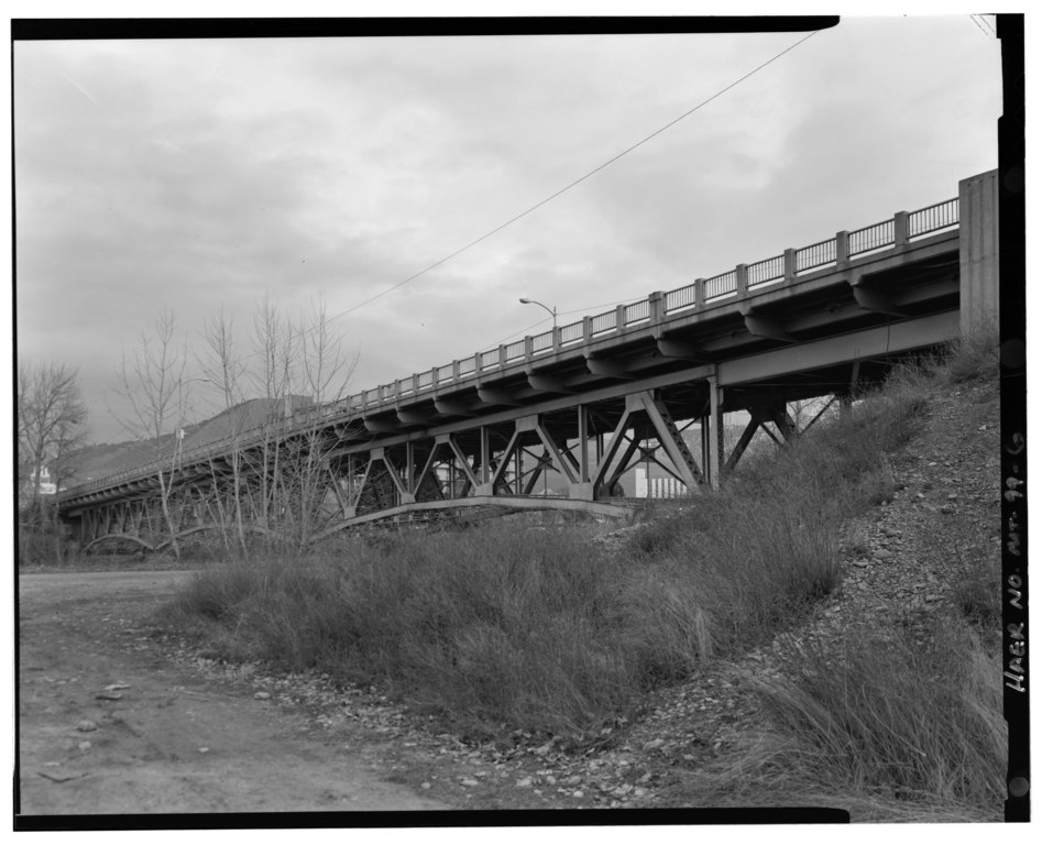
| 3-4 VIEW OF WEST SIDE. VIEW TO EAST - Orange Street Bridge, Spanning Clark Fork River at Orange Street, Missoula, Missoula County, MT | ||||
|---|---|---|---|---|
| Title |
3-4 VIEW OF WEST SIDE. VIEW TO EAST - Orange Street Bridge, Spanning Clark Fork River at Orange Street, Missoula, Missoula County, MT |
|||
| Depicted place | Montana; Missoula County; Missoula | |||
| Date | Documentation compiled after 1968 | |||
| Dimensions | 4 x 5 in. | |||
| Current location |
Library of Congress Prints and Photographs Division Washington, D.C. 20540 USA http://hdl.loc.gov/loc.pnp/pp.print |
|||
| Accession number |
HAER MONT,32-MISS,5-6 |
|||
| Credit line |
|
|||
| Notes |
|
|||
| Source | https://www.loc.gov/pictures/item/mt0326.photos.345153p | |||
| Permission (Reusing this file) |
|
|||

| Object location | | View this and other nearby images on: OpenStreetMap |
|---|
File history
Click on a date/time to view the file as it appeared at that time.
| Date/Time | Thumbnail | Dimensions | User | Comment | |
|---|---|---|---|---|---|
| current | 19:45, 28 July 2014 |  | 5,000 × 4,055 (19.34 MB) | Fæ (talk | contribs) | GWToolset: Creating mediafile for Fæ. HABS 24 July 2014 (2001:2300) |
You cannot overwrite this file.
File usage on Commons
The following page uses this file: