File:307 EAST FORTY-NINTH STREET MAIN ELEVATION - United Nations Vicinity Area Study, Second Avenue, East Forty-first, East Forty-third, East Forty-fourth, East Forty-eighty, and HABS NY,31-NEYO,152-31.tif
Jump to navigation
Jump to search

Size of this JPG preview of this TIF file: 453 × 600 pixels. Other resolutions: 181 × 240 pixels | 362 × 480 pixels | 580 × 768 pixels | 773 × 1,024 pixels | 1,547 × 2,048 pixels | 3,776 × 5,000 pixels.
Original file (3,776 × 5,000 pixels, file size: 18.01 MB, MIME type: image/tiff)
Captions
Captions
Add a one-line explanation of what this file represents
Summary[edit]
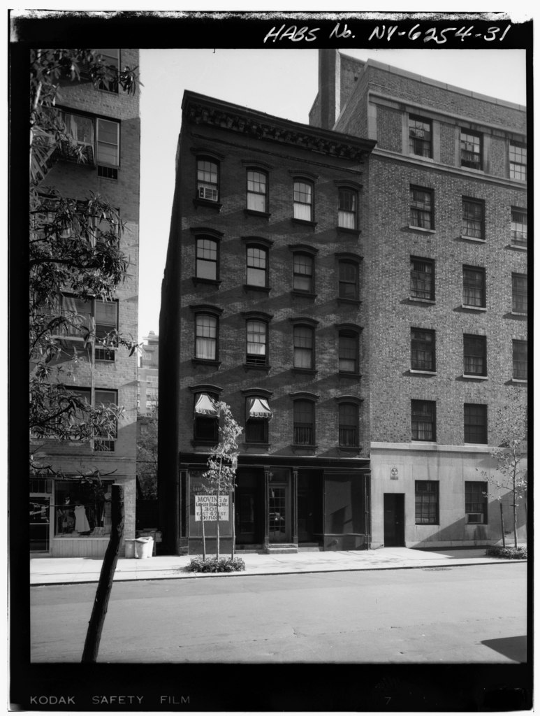
| 307 EAST FORTY-NINTH STREET MAIN ELEVATION - United Nations Vicinity Area Study, Second Avenue, East Forty-first, East Forty-third, East Forty-fourth, East Forty-eighty, and East Forty-ninth Streets, New York, New York County, NY | ||||
|---|---|---|---|---|
| Title |
307 EAST FORTY-NINTH STREET MAIN ELEVATION - United Nations Vicinity Area Study, Second Avenue, East Forty-first, East Forty-third, East Forty-fourth, East Forty-eighty, and East Forty-ninth Streets, New York, New York County, NY |
|||
| Depicted place | New York; New York County; New York | |||
| Date | Documentation compiled after 1933 | |||
| Dimensions | 4 x 5 in. | |||
| Current location |
Library of Congress Prints and Photographs Division Washington, D.C. 20540 USA http://hdl.loc.gov/loc.pnp/pp.print |
|||
| Accession number |
HABS NY,31-NEYO,152-31 |
|||
| Credit line |
|
|||
| Notes |
|
|||
| Source | https://www.loc.gov/pictures/item/ny1182.photos.118965p | |||
| Permission (Reusing this file) |
|
|||

| Object location | | View this and other nearby images on: OpenStreetMap |
|---|
File history
Click on a date/time to view the file as it appeared at that time.
| Date/Time | Thumbnail | Dimensions | User | Comment | |
|---|---|---|---|---|---|
| current | 14:50, 29 July 2014 |  | 3,776 × 5,000 (18.01 MB) | Fæ (talk | contribs) | GWToolset: Creating mediafile for Fæ. HABS 24 July 2014 (2301:2600) |
You cannot overwrite this file.
File usage on Commons
The following page uses this file: