File:Aerial view looking southwest, showing rear of lighthouse - Faro Isla de Culebritas, South side of Isla Culebrita, Culebra, Culebra Municipio, PR HAER PR,33-FRAI,1-5.tif
Jump to navigation
Jump to search

Size of this JPG preview of this TIF file: 758 × 600 pixels. Other resolutions: 303 × 240 pixels | 607 × 480 pixels | 971 × 768 pixels | 1,280 × 1,013 pixels | 2,560 × 2,025 pixels | 5,000 × 3,956 pixels.
Original file (5,000 × 3,956 pixels, file size: 18.87 MB, MIME type: image/tiff)
Captions
Captions
Add a one-line explanation of what this file represents
Summary[edit]
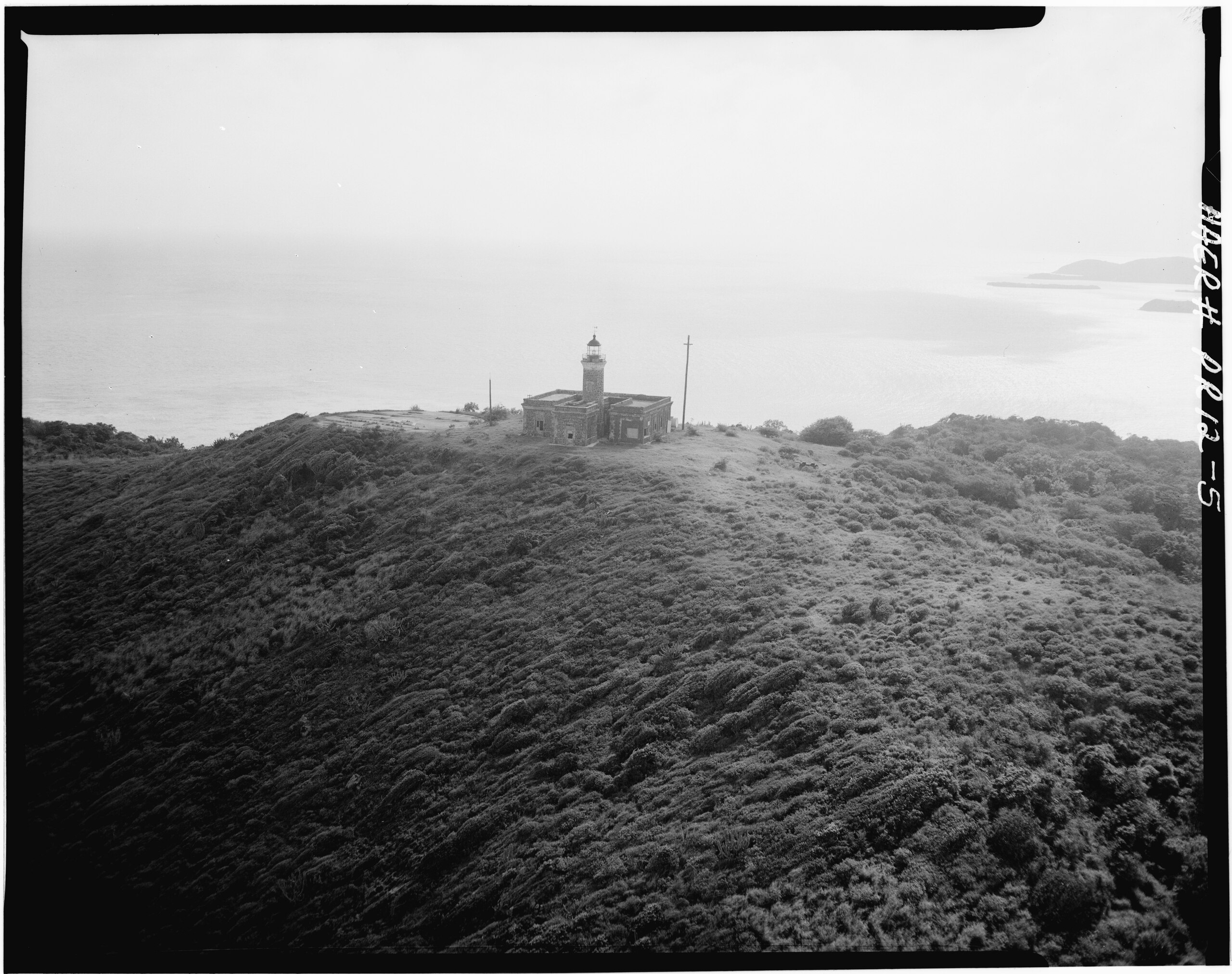
| Aerial view looking southwest, showing rear of lighthouse - Faro Isla de Culebritas, South side of Isla Culebrita, Culebra, Culebra Municipio, PR | ||||
|---|---|---|---|---|
| Title |
Aerial view looking southwest, showing rear of lighthouse - Faro Isla de Culebritas, South side of Isla Culebrita, Culebra, Culebra Municipio, PR |
|||
| Description |
U.S. Department of Commerce; Central Lighthouse Commission; Sautter, Lemmonnier, and Cie; Murphy, Kevin, transmitter; Morales, Luis, photographer; Nistal-Moret, Benjamin, historian |
|||
| Depicted place | Puerto Rico; Culebra Municipio; Culebra | |||
| Date | Documentation compiled after 1968 | |||
| Dimensions | 4 x 5 in. | |||
| Current location |
Library of Congress Prints and Photographs Division Washington, D.C. 20540 USA http://hdl.loc.gov/loc.pnp/pp.print |
|||
| Accession number |
HAER PR,33-FRAI,1-5 |
|||
| Credit line |
|
|||
| Notes |
|
|||
| Source | https://www.loc.gov/pictures/item/pr0042.photos.143175p | |||
| Permission (Reusing this file) |
|
|||

| Object location | | View this and other nearby images on: OpenStreetMap |
|---|
File history
Click on a date/time to view the file as it appeared at that time.
| Date/Time | Thumbnail | Dimensions | User | Comment | |
|---|---|---|---|---|---|
| current | 10:20, 1 August 2014 |  | 5,000 × 3,956 (18.87 MB) | Fæ (talk | contribs) | GWToolset: Creating mediafile for Fæ. HABS 31 July 2014 (3000:3200) |
You cannot overwrite this file.
File usage on Commons
The following page uses this file: