File:Amatan en Chiapas.svg
Jump to navigation
Jump to search

Size of this PNG preview of this SVG file: 600 × 600 pixels. Other resolutions: 240 × 240 pixels | 480 × 480 pixels | 768 × 768 pixels | 1,024 × 1,024 pixels | 2,048 × 2,048 pixels | 1,300 × 1,300 pixels.
Original file (SVG file, nominally 1,300 × 1,300 pixels, file size: 116 KB)
Captions
Captions
Add a one-line explanation of what this file represents
Summary[edit]
| Description |
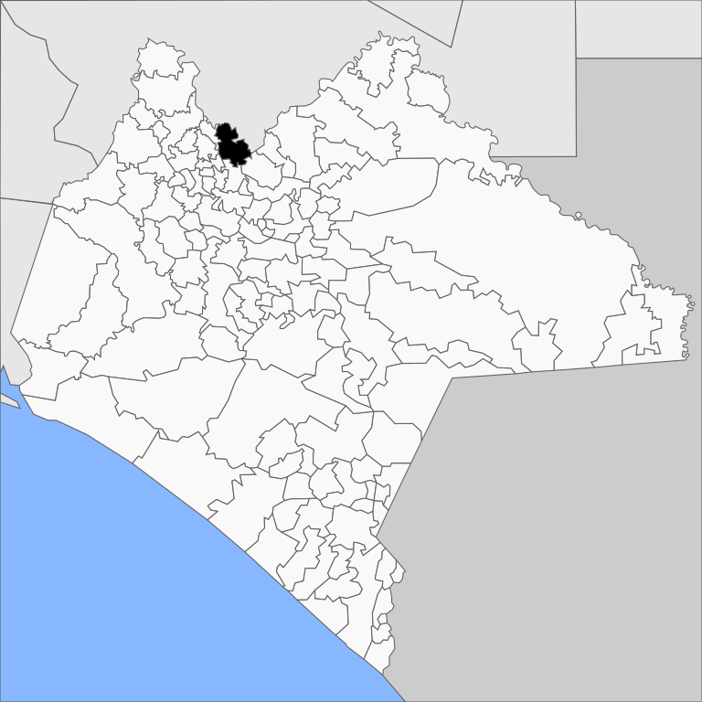
Español: Mapa del municipio de Amatán en el estado de Chiapas, México.
Русский: Муниципалитет Аматан на карте мексиканского штата Чьяпас.
English: Map of the municipality of Amatán the mexican state of Chiapas. |
||
| Date | |||
| Source |
Own work This W3C-unspecified vector image was created with Inkscape . |
||
| Author | MikSed | ||
| Permission (Reusing this file) |
I, the copyright holder of this work, hereby publish it under the following license:
|
| This is a retouched picture, which means that it has been digitally altered from its original version. The original can be viewed here: Municipios de Chiapas (2020).svg:
|
.svg)
File history
Click on a date/time to view the file as it appeared at that time.
| Date/Time | Thumbnail | Dimensions | User | Comment | |
|---|---|---|---|---|---|
| current | 21:49, 12 February 2022 | | 1,300 × 1,300 (116 KB) | MikSed (talk | contribs) | update 2020 |
| 05:09, 17 August 2011 |  | 1,206 × 1,079 (317 KB) | MikSed (talk | contribs) | {{Information |Description=Mapa del municipio de Amatán en el estado de Chiapas, México. |Source=*File:Ixtacomitan_en_Chiapas.svg |Date=2011-08-17 05:08 (UTC) |Author= * Battroid *derivative work: ~~~ |Permission= |other_versions |
You cannot overwrite this file.
File usage on Commons
The following page uses this file:
File usage on other wikis
The following other wikis use this file:
- Usage on de.wikipedia.org
- Usage on eo.wikipedia.org
- Usage on es.wikipedia.org
- Usage on eu.wikipedia.org
- Usage on fr.wikipedia.org
- Usage on pt.wikipedia.org
- Usage on ru.wikipedia.org
- Usage on vi.wikipedia.org
- Usage on www.wikidata.org