File:Anthony Carlin House, 3233 Euclid Avenue, Cleveland, Cuyahoga County, OH HABS OH-2415-9.tif
Jump to navigation
Jump to search
Size of this JPG preview of this TIF file: 479 × 599 pixels. Other resolutions: 192 × 240 pixels | 384 × 480 pixels | 614 × 768 pixels | 819 × 1,024 pixels | 1,638 × 2,048 pixels | 4,319 × 5,401 pixels.
Original file (4,319 × 5,401 pixels, file size: 22.25 MB, MIME type: image/tiff)
Captions
Captions
Add a one-line explanation of what this file represents
Summary[edit]
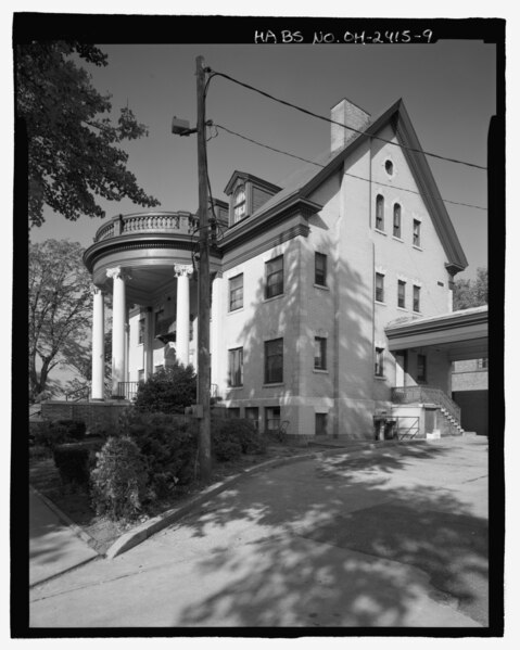
| - Anthony Carlin House, 3233 Euclid Avenue, Cleveland, Cuyahoga County, OH | ||||
|---|---|---|---|---|
| Photographer |
Related names:
|
|||
| Title |
- Anthony Carlin House, 3233 Euclid Avenue, Cleveland, Cuyahoga County, OH |
|||
| Depicted place | Ohio; Cuyahoga County; Cleveland | |||
| Date | Documentation compiled after 1933 | |||
| Dimensions | 4 x 5 in. | |||
| Current location |
Library of Congress Prints and Photographs Division Washington, D.C. 20540 USA http://hdl.loc.gov/loc.pnp/pp.print |
|||
| Accession number |
HABS OH-2415-9 |
|||
| Credit line |
|
|||
| Notes |
|
|||
| Source | https://www.loc.gov/pictures/item/oh1781.photos.212685p | |||
| Permission (Reusing this file) |
|
|||

| Object location | | View this and other nearby images on: OpenStreetMap |
|---|
File history
Click on a date/time to view the file as it appeared at that time.
| Date/Time | Thumbnail | Dimensions | User | Comment | |
|---|---|---|---|---|---|
| current | 23:58, 1 August 2014 |  | 4,319 × 5,401 (22.25 MB) | Fæ (talk | contribs) | GWToolset: Creating mediafile for Fæ. HABS 2014-08-01 2601-2900 missing |
You cannot overwrite this file.
File usage on Commons
The following 2 pages use this file: