File:April 1962 SOUTH (FRONT) AND EAST ELEVATION - William and Hector Bruce House, U.S. Highway 90 (Chattahoochee Highway), Quincy, Gadsden County, FL HABS FLA,20-QUI,1-1.tif
Jump to navigation
Jump to search

Size of this JPG preview of this TIF file: 800 × 567 pixels. Other resolutions: 320 × 227 pixels | 640 × 454 pixels | 1,024 × 726 pixels | 1,280 × 907 pixels | 2,560 × 1,815 pixels | 5,000 × 3,544 pixels.
Original file (5,000 × 3,544 pixels, file size: 16.9 MB, MIME type: image/tiff)
Captions
Captions
Add a one-line explanation of what this file represents
Summary[edit]
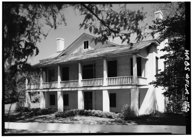
| April 1962 SOUTH (FRONT) AND EAST ELEVATION - William and Hector Bruce House, U.S. Highway 90 (Chattahoochee Highway), Quincy, Gadsden County, FL | ||||
|---|---|---|---|---|
| Photographer |
Boucher, Jack E. |
|||
| Title |
April 1962 SOUTH (FRONT) AND EAST ELEVATION - William and Hector Bruce House, U.S. Highway 90 (Chattahoochee Highway), Quincy, Gadsden County, FL |
|||
| Depicted place | Florida; Gadsden County; Quincy | |||
| Date | Documentation compiled after 1933 | |||
| Dimensions | 5 x 7 in. | |||
| Current location |
Library of Congress Prints and Photographs Division Washington, D.C. 20540 USA http://hdl.loc.gov/loc.pnp/pp.print |
|||
| Accession number |
HABS FLA,20-QUI,1-1 |
|||
| Credit line |
|
|||
| Notes |
|
|||
| Source | https://www.loc.gov/pictures/item/fl0099.photos.052679p | |||
| Permission (Reusing this file) |
|
|||

| Object location | | View this and other nearby images on: OpenStreetMap |
|---|
File history
Click on a date/time to view the file as it appeared at that time.
| Date/Time | Thumbnail | Dimensions | User | Comment | |
|---|---|---|---|---|---|
| current | 08:04, 11 July 2014 |  | 5,000 × 3,544 (16.9 MB) | Fæ (talk | contribs) | GWToolset: Creating mediafile for Fæ. HABS 09 July 2014 (801:1000) |
You cannot overwrite this file.
File usage on Commons
The following page uses this file: