File:BUILDING AT 367 YORK - Montgomery Gateway East, One and Two, Montgomery and Monmouth Street, Jersey City, Hudson County, NJ HABS NJ,9-JERCI,15-49.tif

Original file (5,000 × 4,017 pixels, file size: 19.16 MB, MIME type: image/tiff)
Captions
Captions
Summary[edit]
| BUILDING AT 367 YORK - Montgomery Gateway East, One and Two, Montgomery and Monmouth Street, Jersey City, Hudson County, NJ | ||||
|---|---|---|---|---|
| Title |
BUILDING AT 367 YORK - Montgomery Gateway East, One and Two, Montgomery and Monmouth Street, Jersey City, Hudson County, NJ |
|||
| Depicted place | New Jersey; Hudson County; Jersey City | |||
| Date | Documentation compiled after 1933 | |||
| Dimensions | 4 x 5 in. | |||
| Current location |
Library of Congress Prints and Photographs Division Washington, D.C. 20540 USA http://hdl.loc.gov/loc.pnp/pp.print |
|||
| Accession number |
HABS NJ,9-JERCI,15-49 |
|||
| Credit line |
|
|||
| Notes |
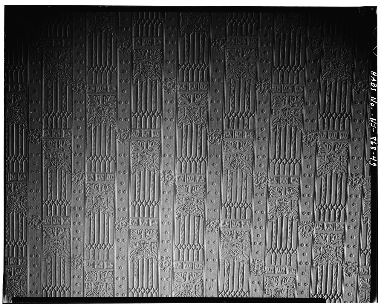
Most of the Montgomery Gateway East area was made-up of four to five story tenement houses which sometimes contained commercial establishments on the lower level. Trenton brick with brownstone or Ohio stone and terra cotta trim were the most common materials of the facades. These buildings were generally laid out as "railroad flats," on 25' x 100' lots. These buildings usually contained two families to each floor.
|
|||
| Source | https://www.loc.gov/pictures/item/nj0063.photos.113133p | |||
| Permission (Reusing this file) |
|
|||

| Object location | | View this and other nearby images on: OpenStreetMap |
|---|
File history
Click on a date/time to view the file as it appeared at that time.
| Date/Time | Thumbnail | Dimensions | User | Comment | |
|---|---|---|---|---|---|
| current | 07:57, 29 July 2014 |  | 5,000 × 4,017 (19.16 MB) | Fæ (talk | contribs) | GWToolset: Creating mediafile for Fæ. HABS 24 July 2014 (2001:2300) |
You cannot overwrite this file.
File usage on Commons
The following page uses this file: