File:Bahnkarte Deutschland 1849.jpg
Jump to navigation
Jump to search
Size of this preview: 740 × 600 pixels. Other resolutions: 296 × 240 pixels | 592 × 480 pixels | 948 × 768 pixels | 1,263 × 1,024 pixels | 2,527 × 2,048 pixels | 4,646 × 3,766 pixels.
Original file (4,646 × 3,766 pixels, file size: 17.31 MB, MIME type: image/jpeg)
Captions
Captions
Add a one-line explanation of what this file represents
| Description |
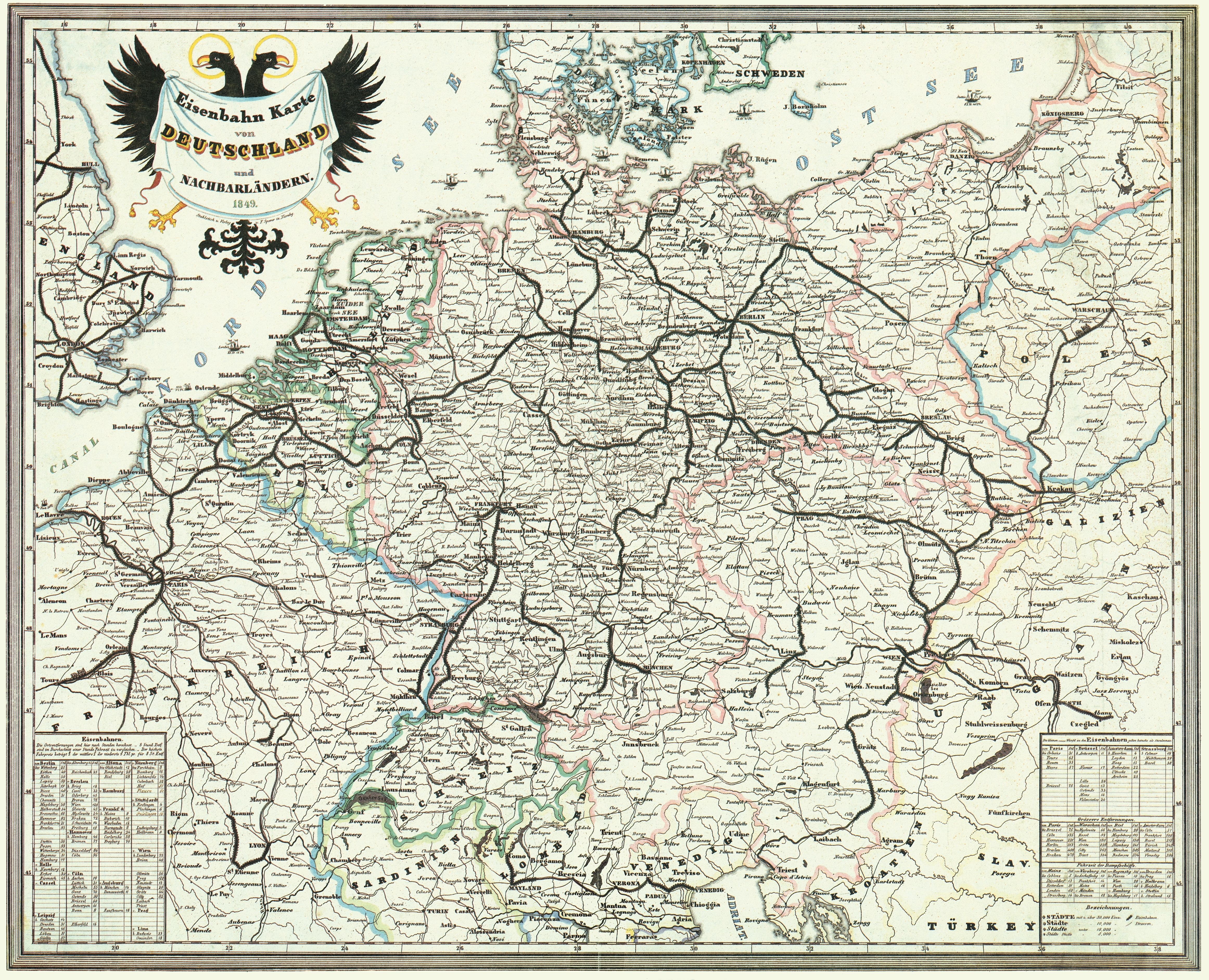
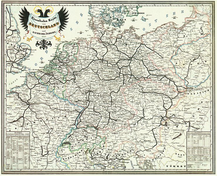
Deutsch: Bahnkarte von Deutschland und Nachbarländern 1849. Dünne Linien sind Straßen. |
| Date | |
| Source | Karten- und Luftbildstelle der DB Mainz |
| Author | F. Sporer, Nürnberg |
| Other versions |
Derivative works of this file: |
|
This work is in the public domain in its country of origin and other countries and areas where the copyright term is the author's life plus 100 years or fewer. | |
| This file has been identified as being free of known restrictions under copyright law, including all related and neighboring rights. | |
File history
Click on a date/time to view the file as it appeared at that time.
| Date/Time | Thumbnail | Dimensions | User | Comment | |
|---|---|---|---|---|---|
| current | 14:42, 17 November 2008 | | 4,646 × 3,766 (17.31 MB) | Jom (talk | contribs) | {{Information |Description=Bahnkarte_Deutschland_1849 |Source=Karten- und Luftbildstelle der DB Mainz |Date=1849 |Author=unknown |Permission= |other_versions= }} {{PD-old-100}} Category:Maps of the history of Germany [[Category:Public transport maps o |
You cannot overwrite this file.
File usage on Commons
The following 3 pages use this file:
File usage on other wikis
The following other wikis use this file:
- Usage on cs.wikipedia.org
- Usage on de.wikipedia.org
- 1849
- Geschichte der Eisenbahn
- Geschichte der Eisenbahn in Deutschland
- Portal:Bahn/Mitmachen/Literatur
- Stargard-Posener Eisenbahn
- Wilhelmsbahn
- K.k. Östliche Staatsbahn
- Krakau-Oberschlesische Eisenbahn
- Stammstrecke der Köln-Mindener Eisenbahn-Gesellschaft
- Benutzer:Jom/Maps
- Warschau-Wiener Eisenbahn
- Oberschlesische Eisenbahn
- Diskussion:Bahnstrecke Kędzierzyn-Koźle–Opole
- Usage on en.wikipedia.org
- Usage on fr.wikipedia.org
- Usage on hu.wikipedia.org
- Usage on it.wikipedia.org
- Usage on ja.wikipedia.org
- Usage on nl.wikipedia.org
- Usage on pl.wikipedia.org
- Usage on sk.wikipedia.org
- Usage on zh.wikipedia.org