File:Bali-West-Bali-National-Park-Map.svg
Jump to navigation
Jump to search

Size of this PNG preview of this SVG file: 800 × 457 pixels. Other resolutions: 320 × 183 pixels | 640 × 366 pixels | 1,024 × 585 pixels | 1,280 × 731 pixels | 2,560 × 1,462 pixels | 1,791 × 1,023 pixels.
Original file (SVG file, nominally 1,791 × 1,023 pixels, file size: 743 KB)
Captions
Captions
Add a one-line explanation of what this file represents
Summary[edit]
| Description |
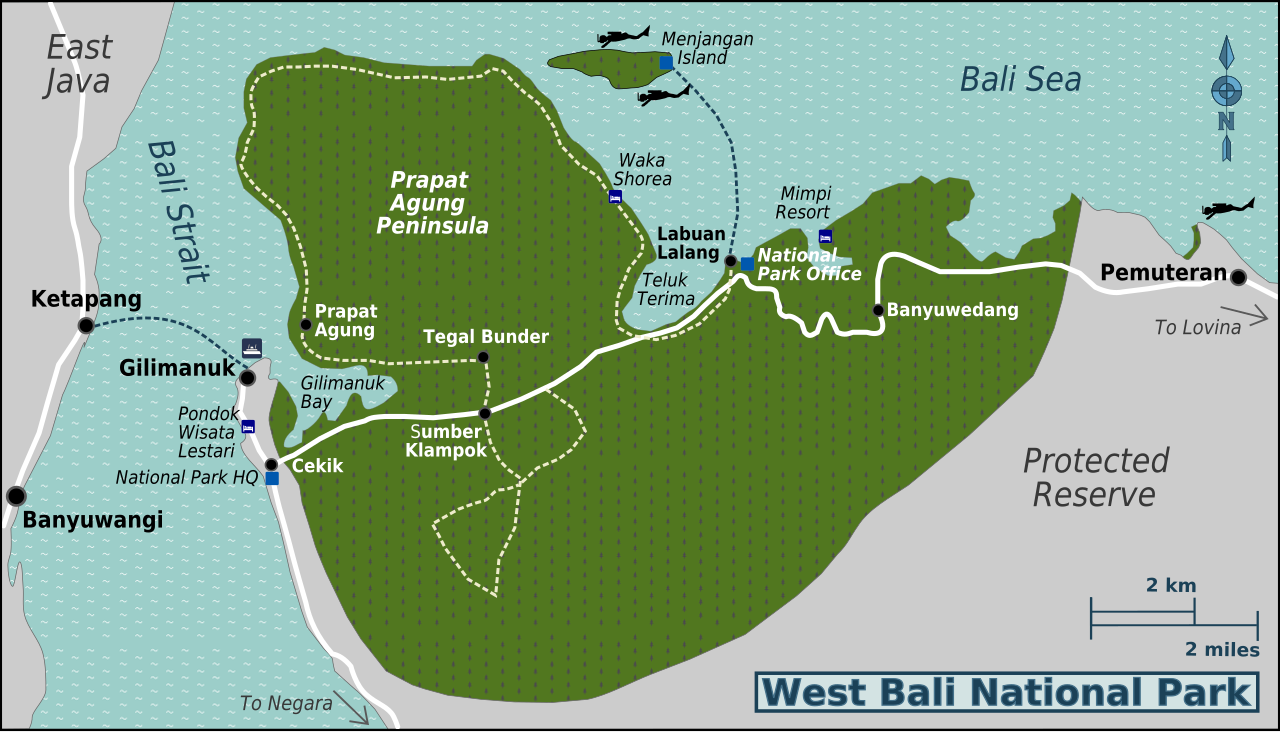
English: Map of West Bali National Park. SVG, West Bali National Park. |
| Date | |
| Source | OpenStreetMap, Bali_regions_map.png, Public Domain satellite imagery |
| Author | User:(WT-shared) Burmesedays User:(WT-shared) Peterfitzgerald OpenStreetMap |
This W3C-unspecified vector image was created with Inkscape .
Licensing[edit]
This file is licensed under the Creative Commons Attribution 3.0 Unported license.
- You are free:
- to share – to copy, distribute and transmit the work
- to remix – to adapt the work
- Under the following conditions:
- attribution – You must give appropriate credit, provide a link to the license, and indicate if changes were made. You may do so in any reasonable manner, but not in any way that suggests the licensor endorses you or your use.
Original upload log[edit]
| This file was imported from Wikivoyage WTS. |
The original description page was here. All following user names refer to wts.wikivoyage-old.
- 2009-11-07 12:21 (WT-shared) Burmesedays[dead link] 744×1052 (693458 bytes) {{Imagecredit|credit=[[User:Burmesedays]] [[User:Peterfitzgerald]] [http://openstreetmap.org OpenStreetMap]|captureDate=6 November 2009|loca (Import from wikitravel.org/shared)
- 2010-02-14 05:09 (WT-shared) Burmesedays[dead link] 744×1052 (697275 bytes) minor format fixes (Import from wikitravel.org/shared)
- 2010-02-14 07:12 (WT-shared) Burmesedays[dead link] 744×1052 (713564 bytes) (Import from wikitravel.org/shared)
File history
Click on a date/time to view the file as it appeared at that time.
| Date/Time | Thumbnail | Dimensions | User | Comment | |
|---|---|---|---|---|---|
| current | 11:25, 2 November 2015 | | 1,791 × 1,023 (743 KB) | Hdamm (talk | contribs) | fixed image dimensions, converted fonts to paths, removed clutter |
| 05:34, 21 November 2012 |  | 744 × 1,052 (697 KB) | OgreBot (talk | contribs) | (BOT): Reverting to most recent version before archival | |
| 05:34, 21 November 2012 |  | 744 × 1,052 (681 KB) | OgreBot (talk | contribs) | (BOT): Uploading old version of file from wts.wikivoyage; originally uploaded on 2010-02-14 05:09:21 by (WT-shared) Burmesedays | |
| 05:34, 21 November 2012 |  | 744 × 1,052 (677 KB) | OgreBot (talk | contribs) | (BOT): Uploading old version of file from wts.wikivoyage; originally uploaded on 2009-11-07 12:21:30 by (WT-shared) Burmesedays | |
| 22:22, 17 November 2012 |  | 744 × 1,052 (697 KB) | MGA73bot2 (talk | contribs) | {{BotMoveToCommons|wts.oldwikivoyage|year={{subst:CURRENTYEAR}}|month={{subst:CURRENTMONTHNAME}}|day={{subst:CURRENTDAY}}}} == {{int:filedesc}} == {{Information |description=Map of West Bali National Park. SVG, West Bali National Park * Map of: West Ba... |
You cannot overwrite this file.
File usage on Commons
The following page uses this file: