File:Baptist Home, 665-681 Greene Avenue, bounded by Greene Avenue East, Throop Avenue and Van Buren Street, Brooklyn, Kings County, NY HABS NY,24-BROK,58-12.tif
Jump to navigation
Jump to search
Size of this JPG preview of this TIF file: 749 × 599 pixels. Other resolutions: 300 × 240 pixels | 600 × 480 pixels | 960 × 768 pixels | 1,279 × 1,024 pixels | 2,559 × 2,048 pixels | 5,000 × 4,002 pixels.
Original file (5,000 × 4,002 pixels, file size: 19.09 MB, MIME type: image/tiff)
Captions
Captions
Add a one-line explanation of what this file represents
Summary[edit]
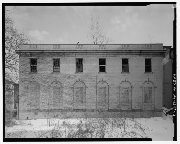
| - Baptist Home, 665-681 Greene Avenue, bounded by Greene Avenue East, Throop Avenue and Van Buren Street, Brooklyn, Kings County, NY | ||||
|---|---|---|---|---|
| Title |
- Baptist Home, 665-681 Greene Avenue, bounded by Greene Avenue East, Throop Avenue and Van Buren Street, Brooklyn, Kings County, NY |
|||
| Depicted place | New York; Kings County; Brooklyn | |||
| Date | Documentation compiled after 1933 | |||
| Dimensions | 4 x 5 in. | |||
| Current location |
Library of Congress Prints and Photographs Division Washington, D.C. 20540 USA http://hdl.loc.gov/loc.pnp/pp.print |
|||
| Accession number |
HABS NY,24-BROK,58-12 |
|||
| Credit line |
|
|||
| Notes |
|
|||
| Source | https://www.loc.gov/pictures/item/ny1742.photos.350926p | |||
| Permission (Reusing this file) |
|
|||

| Object location | | View this and other nearby images on: OpenStreetMap |
|---|
File history
Click on a date/time to view the file as it appeared at that time.
| Date/Time | Thumbnail | Dimensions | User | Comment | |
|---|---|---|---|---|---|
| current | 08:04, 1 August 2014 |  | 5,000 × 4,002 (19.09 MB) | Fæ (talk | contribs) | GWToolset: Creating mediafile for Fæ. HABS 31 July 2014 (2301:2600) |
You cannot overwrite this file.
File usage on Commons
The following 2 pages use this file:
- File:- Baptist Home, 665-681 Greene Avenue, bounded by Greene Avenue East, Throop Avenue and Van Buren Street, Brooklyn, Kings County, NY HABS NY,24-BROK,58-12.tif (file redirect)
- File:Baptist Home, 665-681 Greene Avenue, bounded by Greene Avenue East, Throop Avenue and Van Buren Street, Brooklyn, Kings County, NY HABS NY,24-BROK,58-12.tif