File:Bay-shore-map.png
Jump to navigation
Jump to search
No higher resolution available.
Bay-shore-map.png (575 × 425 pixels, file size: 76 KB, MIME type: image/png)
Captions
Captions
Add a one-line explanation of what this file represents

|
This file was moved to Wikimedia Commons from en.wikipedia using a bot script. All source information is still present. It requires review. Additionally, there may be errors in any or all of the information fields; information on this file should not be considered reliable and the file should not be used until it has been reviewed and any needed corrections have been made. Once the review has been completed, this template should be removed. For details about this file, see below. Check now! |
| Description | |
| Date | |
| Source | http://factfinder.census.gov |
| Author | United States Census Bureau |
| Permission (Reusing this file) |
Public domain |
Licensing[edit]
This image or file is a work of a United States Census Bureau employee, taken or made as part of that person's official duties. As a work of the U.S. federal government, the image is in the public domain.
|
 |
Original upload log[edit]
Transferred from en.wikipedia to Commons by Milicevic01 using CommonsHelper.
The original description page was here. All following user names refer to en.wikipedia.
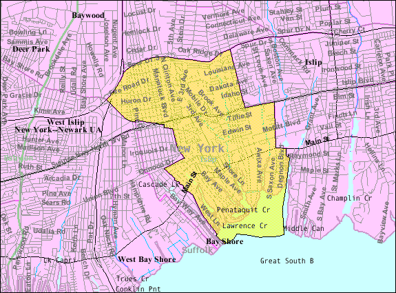
- 2007-11-20 00:33 Americasroof 575×425× (78244 bytes) [[Bay Shore, New York]] map from U.S. Census
Original upload log[edit]
| Date/Time | Dimensions | User | Comment |
|---|---|---|---|
| 22 August 2013, 15:55:07 | 575 × 425 (78244 bytes) | File Upload Bot (Magnus Manske) (talk · contribs) | Transfered from en.wikipedia by [[User:Milicevic01]] using CommonsHelper |
File history
Click on a date/time to view the file as it appeared at that time.
| Date/Time | Thumbnail | Dimensions | User | Comment | |
|---|---|---|---|---|---|
| current | 22:33, 23 August 2014 | | 575 × 425 (76 KB) | GifTagger (talk | contribs) | Bot: Converting file to superior PNG file. (Source: Bay-shore-map.gif). This GIF was problematic due to non-greyscale color table. |
You cannot overwrite this file.
File usage on Commons
The following 2 pages use this file:
- File:Bay-shore-map.gif (file redirect)
- Category:Bay Shore, New York
File usage on other wikis
The following other wikis use this file:
- Usage on ar.wikipedia.org
- Usage on arz.wikipedia.org
- Usage on azb.wikipedia.org
- Usage on ca.wikipedia.org
- Usage on en.wikipedia.org
- Usage on es.wikipedia.org
- Usage on eu.wikipedia.org
- Usage on fa.wikipedia.org
- Usage on fr.wikipedia.org
- Usage on sh.wikipedia.org
- Usage on sr.wikipedia.org
- Usage on tt.wikipedia.org
- Usage on vo.wikipedia.org
- Usage on www.wikidata.org