File:BorguScale.jpeg
Jump to navigation
Jump to search
No higher resolution available.
BorguScale.jpeg (575 × 370 pixels, file size: 152 KB, MIME type: image/jpeg)
Captions
Captions
Add a one-line explanation of what this file represents
Summary[edit]
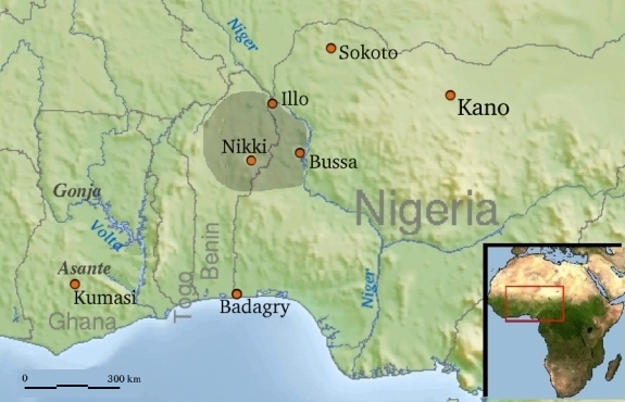
| Description | Map Borgu in W-Africa, w/ scale |
| Date | |
| Source | Made from File:Africa_topography_map_with_borders.png and File:Africa_satellite_orthographic.jpg |
| Author | Commons and Rollebon |
| Permission (Reusing this file) |
Released under the GNU Free Documentation License.For inset : " public domain because it was created by NASA. NASA copyright policy states that "NASA material is not protected by copyright unless noted"" |
Licensing[edit]

|
Permission is granted to copy, distribute and/or modify this document under the terms of the GNU Free Documentation License, Version 1.2 or any later version published by the Free Software Foundation; with no Invariant Sections, no Front-Cover Texts, and no Back-Cover Texts. A copy of the license is included in the section entitled GNU Free Documentation License. |
| This file is licensed under the Creative Commons Attribution-Share Alike 3.0 Unported license. | ||
| ||
| This licensing tag was added to this file as part of the GFDL licensing update. |
File history
Click on a date/time to view the file as it appeared at that time.
| Date/Time | Thumbnail | Dimensions | User | Comment | |
|---|---|---|---|---|---|
| current | 21:52, 9 June 2008 | | 575 × 370 (152 KB) | Rollebon (talk | contribs) | {{Information |Description={{nl|Kaart ligging Borgoe in W-Afrika}Map Borgu in W-Africa, w/ scale} |Source=Made from http://commons.wikimedia.org/wiki/Image%3AAfrica_topography_map_with_borders.png and http://commons.wikimedia.org/wiki/Image:Africa_satelli |
You cannot overwrite this file.
File usage on Commons
There are no pages that use this file.
File usage on other wikis
The following other wikis use this file:
- Usage on nl.wikipedia.org