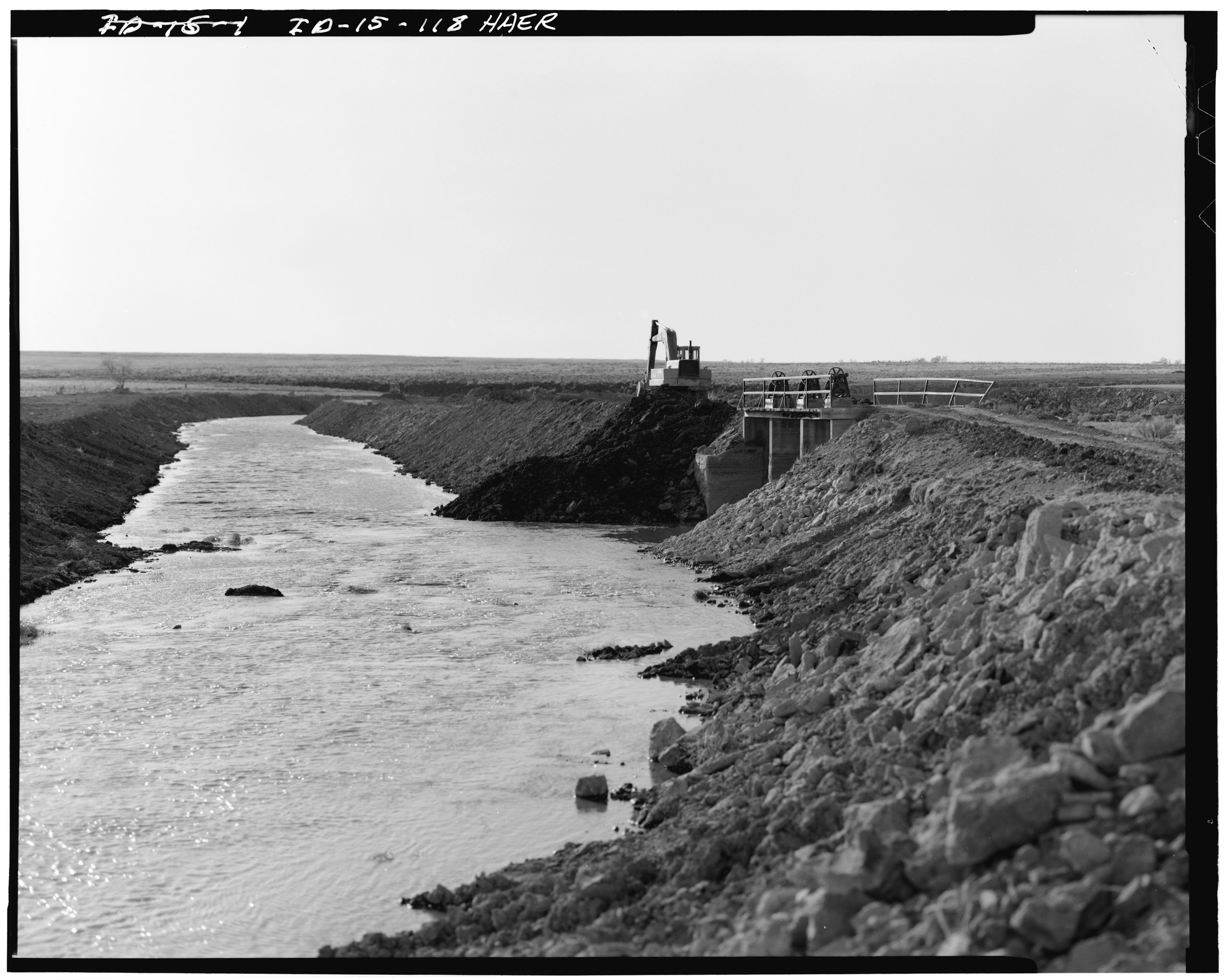
File:COTTONWOOD CREEK SPILL, TWIN FALLS COUNTY, SOUTH OF KIMBERLY, IDAHO; WEST VIEW OF GATES ON HIGH LINE CANAL. - Milner Dam and Main Canal- Twin Falls Canal Company, On Snake HAER ID,27-TWIF.V,1-118.tif
Jump to navigation
Jump to search

Size of this JPG preview of this TIF file: 751 × 599 pixels. Other resolutions: 301 × 240 pixels | 602 × 480 pixels | 963 × 768 pixels | 1,280 × 1,021 pixels | 2,560 × 2,043 pixels | 4,894 × 3,905 pixels.
Original file (4,894 × 3,905 pixels, file size: 18.23 MB, MIME type: image/tiff)
Captions
Captions
Add a one-line explanation of what this file represents
Summary[edit]
| Photographer |
Related names:
|
|||
| Title |
COTTONWOOD CREEK SPILL, TWIN FALLS COUNTY, SOUTH OF KIMBERLY, IDAHO; WEST VIEW OF GATES ON HIGH LINE CANAL. - Milner Dam and Main Canal- Twin Falls Canal Company, On Snake River, 11 miles West of city of Burley, Idaho, Twin Falls, Twin Falls County, ID |
|||
| Depicted place | Idaho; Twin Falls County; Twin Falls | |||
| Date | Documentation compiled after 1968 | |||
| Dimensions | 4 x 5 in. | |||
| Current location |
Library of Congress Prints and Photographs Division Washington, D.C. 20540 USA http://hdl.loc.gov/loc.pnp/pp.print |
|||
| Accession number |
HAER ID,27-TWIF.V,1-118 |
|||
| Credit line |
|
|||
| Notes |
|
|||
| Source | https://www.loc.gov/pictures/item/id0139.photos.059547p | |||
| Permission (Reusing this file) |
|

| Object location | | View this and other nearby images on: OpenStreetMap |
|---|
File history
Click on a date/time to view the file as it appeared at that time.
| Date/Time | Thumbnail | Dimensions | User | Comment | |
|---|---|---|---|---|---|
| current | 01:40, 15 July 2014 |  | 4,894 × 3,905 (18.23 MB) | Fæ (talk | contribs) | GWToolset: Creating mediafile for Fæ. HABS 11 July 2014 (1001:1200) |
You cannot overwrite this file.
File usage on Commons
The following page uses this file: