File:Carte de Rennes.png
Jump to navigation
Jump to search
Size of this preview: 800 × 567 pixels. Other resolutions: 320 × 227 pixels | 640 × 454 pixels | 1,024 × 726 pixels | 1,280 × 907 pixels | 2,364 × 1,676 pixels.
Original file (2,364 × 1,676 pixels, file size: 929 KB, MIME type: image/png)
Captions
Captions
Add a one-line explanation of what this file represents
Summary[edit]
| Description |
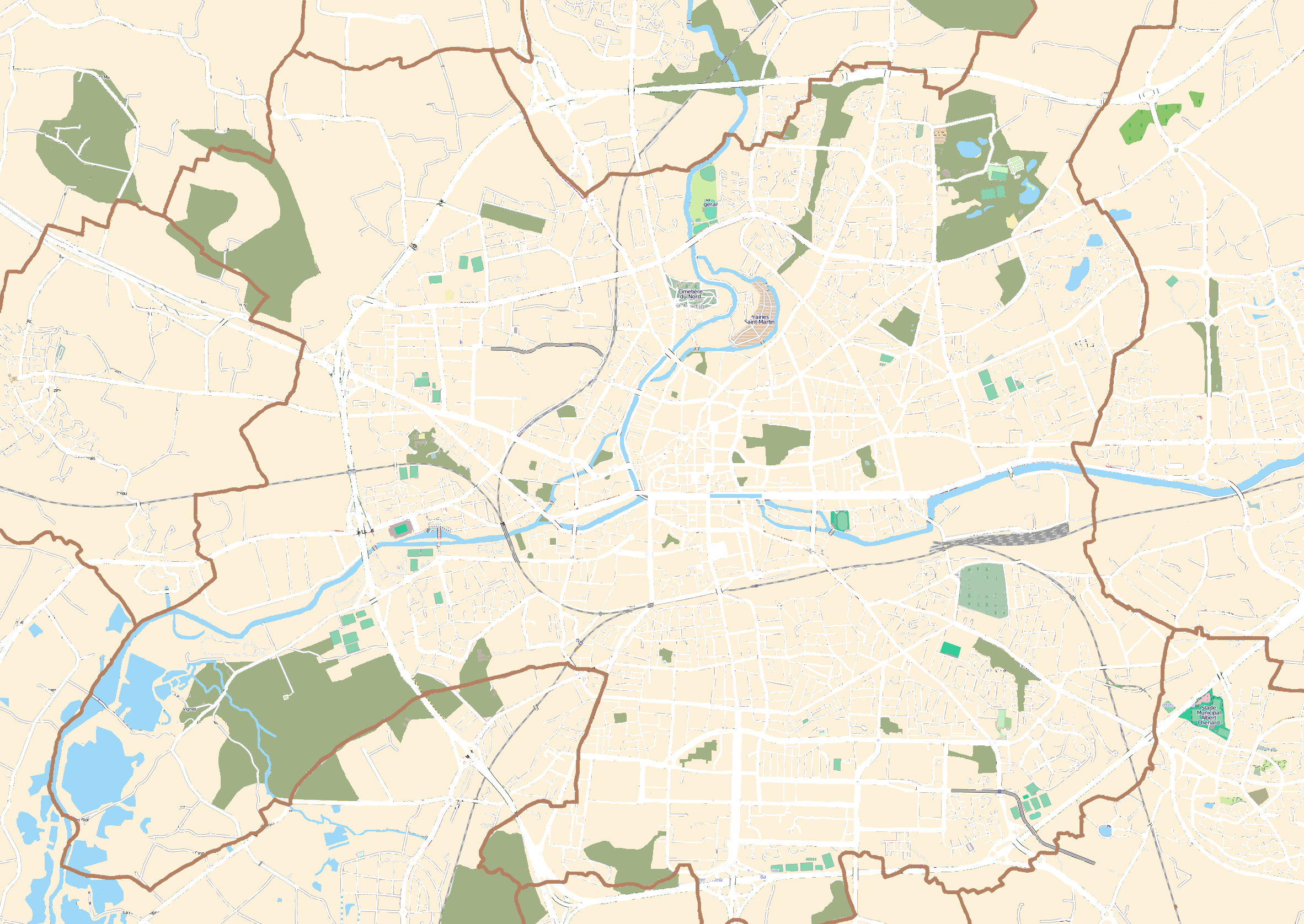
English: Map of Rennes, France
Français : Carte de Rennes, France |
||||||||||||
| Date | |||||||||||||
| Source | OpenStreetMap | ||||||||||||
| Author | OpenStreetMap contributors | ||||||||||||
| Permission (Reusing this file) |
|
Licensing[edit]
This file is licensed under the Creative Commons Attribution-Share Alike 3.0 Unported license.
- You are free:
- to share – to copy, distribute and transmit the work
- to remix – to adapt the work
- Under the following conditions:
- attribution – You must give appropriate credit, provide a link to the license, and indicate if changes were made. You may do so in any reasonable manner, but not in any way that suggests the licensor endorses you or your use.
- share alike – If you remix, transform, or build upon the material, you must distribute your contributions under the same or compatible license as the original.
File history
Click on a date/time to view the file as it appeared at that time.
| Date/Time | Thumbnail | Dimensions | User | Comment | |
|---|---|---|---|---|---|
| current | 16:36, 25 July 2011 | | 2,364 × 1,676 (929 KB) | XIIIfromTOKYO (talk | contribs) | background all orange |
| 16:24, 24 July 2011 |  | 2,364 × 1,676 (1.59 MB) | XIIIfromTOKYO (talk | contribs) | less colors for geoloc test | |
| 20:31, 21 July 2011 |  | 2,364 × 1,676 (2.84 MB) | XIIIfromTOKYO (talk | contribs) | +City border, -streets' colors | |
| 12:11, 4 July 2011 |  | 2,364 × 1,676 (3.45 MB) | XIIIfromTOKYO (talk | contribs) | {{Information |Description ={{en|1=Map of Rennes, France}} {{fr|1=Carte de Rennes, France}} |Source =OpenStreetMap |Author =OpenStreetMap contributors |Date =2011-07-04 |Permission ={{OpenStreetMap}} |other_versions = }} |
You cannot overwrite this file.
File usage on Commons
There are no pages that use this file.
File usage on other wikis
The following other wikis use this file:
- Usage on en.wikipedia.org
- Usage on fr.wikipedia.org