File:Central Savannah River Area.svg
Jump to navigation
Jump to search

Size of this PNG preview of this SVG file: 724 × 600 pixels. Other resolutions: 290 × 240 pixels | 579 × 480 pixels | 927 × 768 pixels | 1,236 × 1,024 pixels | 2,472 × 2,048 pixels | 1,079 × 894 pixels.
Original file (SVG file, nominally 1,079 × 894 pixels, file size: 377 KB)
Captions
Captions
Add a one-line explanation of what this file represents
| Description |
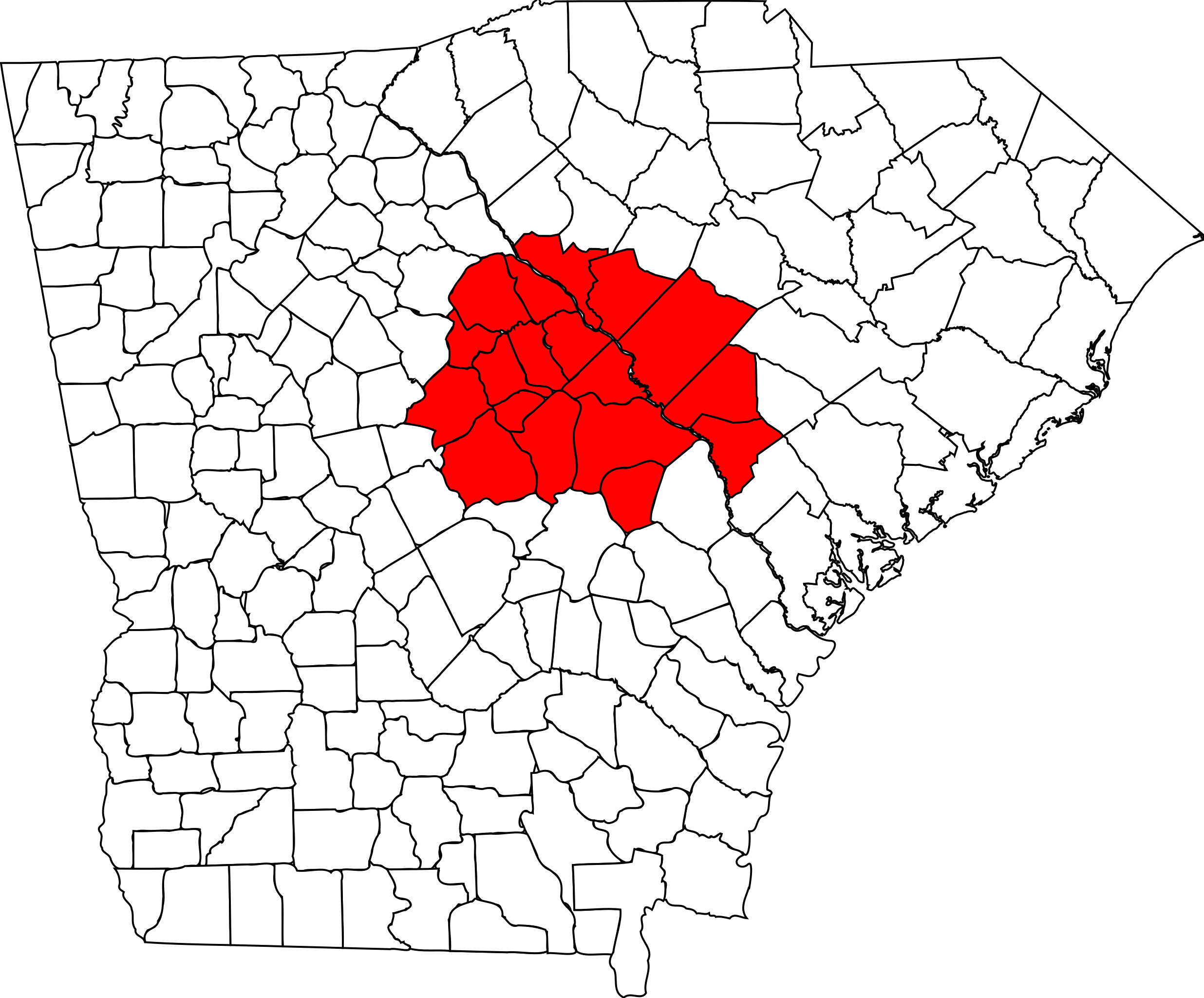
English: Map highlighting the Central Savannah River Area |
||
| Date | |||
| Source | Own work, based on File:Map of Georgia highlighting Richmond County.svg and File:Map of South Carolina highlighting Aiken County.svg | ||
| Author | Chris Pruitt | ||
| Permission (Reusing this file) |
|
File history
Click on a date/time to view the file as it appeared at that time.
| Date/Time | Thumbnail | Dimensions | User | Comment | |
|---|---|---|---|---|---|
| current | 02:21, 1 August 2009 | | 1,079 × 894 (377 KB) | Spyder Monkey (talk | contribs) | {{Information |Description={{en|Map highlighting the Central Savannah River Area}} |Source={{own}}, based on File:Map of Georgia highlighting Richmond County.svg and [[:File:Map of South Carolina highlighting Aiken |
You cannot overwrite this file.
File usage on Commons
There are no pages that use this file.
File usage on other wikis
The following other wikis use this file:
- Usage on pt.wikipedia.org
Categories:
- Maps of Burke County, Georgia
- Maps of Columbia County, Georgia
- Maps of Glascock County, Georgia
- Maps of Hancock County, Georgia
- Maps of Jefferson County, Georgia
- Maps of Jenkins County, Georgia
- Maps of Lincoln County, Georgia
- Maps of McDuffie County, Georgia
- Maps of Richmond County, Georgia
- Maps of Taliaferro County, Georgia
- Maps of Warren County, Georgia
- Maps of Washington County, Georgia
- Maps of Wilkes County, Georgia
- Maps of Aiken County, South Carolina
- Maps of Edgefield County, South Carolina
- Maps of Allendale County, South Carolina
- Maps of Barnwell County, South Carolina
- Maps of McCormick County, South Carolina
- Augusta, Georgia