File:Chantier allée Pierre de Mansfeld.jpg
Jump to navigation
Jump to search

Size of this preview: 800 × 531 pixels. Other resolutions: 320 × 213 pixels | 640 × 425 pixels | 1,024 × 680 pixels | 1,280 × 850 pixels | 2,560 × 1,700 pixels | 4,119 × 2,736 pixels.
Original file (4,119 × 2,736 pixels, file size: 7.24 MB, MIME type: image/jpeg)
Captions
Captions
Add a one-line explanation of what this file represents
Summary[edit]
| Description |
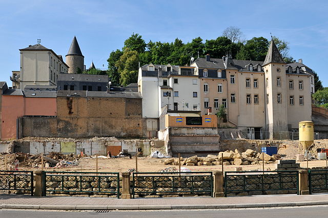
Lëtzebuergesch: E Chantier, op der Héicht vun der Clausener Kierch gëtt eng fräi Vue op d'Haiser op der anerer Säit vun der Uelzecht am Clausener Bierg. |
| Date | |
| Source | Own work |
| Author | Jwh |
| Camera location | | View this and other nearby images on: OpenStreetMap |
|---|
Licensing[edit]
This file is licensed under the Creative Commons Attribution-Share Alike 3.0 Luxembourg license.
- You are free:
- to share – to copy, distribute and transmit the work
- to remix – to adapt the work
- Under the following conditions:
- attribution – You must give appropriate credit, provide a link to the license, and indicate if changes were made. You may do so in any reasonable manner, but not in any way that suggests the licensor endorses you or your use.
- share alike – If you remix, transform, or build upon the material, you must distribute your contributions under the same or compatible license as the original.

This photograph was taken with a Nikon D300
File history
Click on a date/time to view the file as it appeared at that time.
| Date/Time | Thumbnail | Dimensions | User | Comment | |
|---|---|---|---|---|---|
| current | 06:36, 23 August 2013 | | 4,119 × 2,736 (7.24 MB) | Jwh (talk | contribs) | VicuñaUploader 1.17 |
You cannot overwrite this file.
File usage on Commons
There are no pages that use this file.