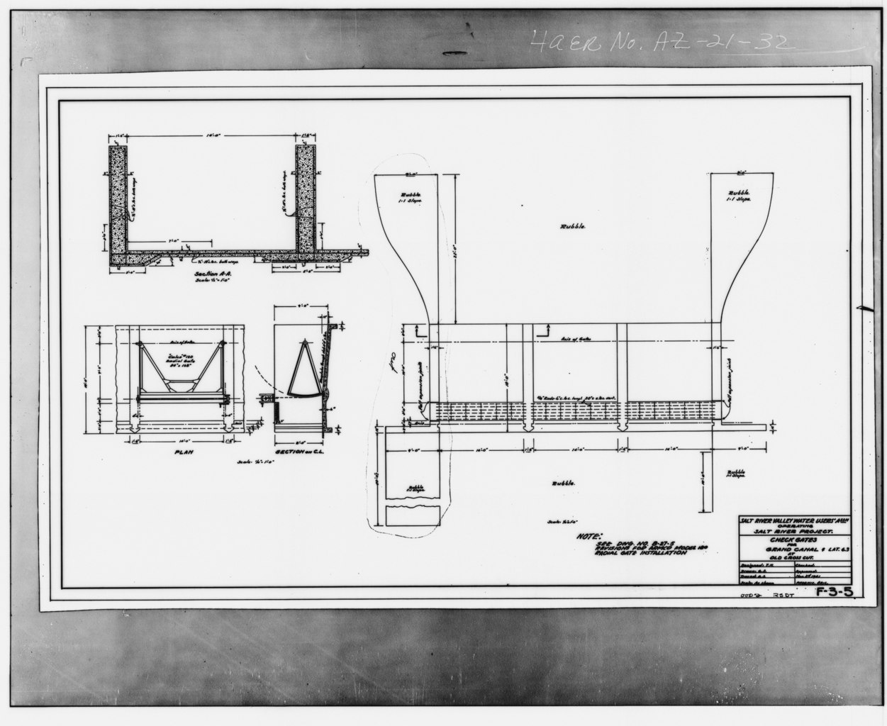
File:Check Gates for Grand Canal at Old Crosscut, Plan Sections, November 1941. Source- Salt River Project - Old Crosscut Canal, North Side of Salt River, Phoenix, Maricopa County, HAER ARIZ,7-PHEN,17-32.tif
Jump to navigation
Jump to search

Size of this JPG preview of this TIF file: 733 × 600 pixels. Other resolutions: 293 × 240 pixels | 587 × 480 pixels | 938 × 768 pixels | 1,251 × 1,024 pixels | 2,502 × 2,048 pixels | 4,815 × 3,941 pixels.
Original file (4,815 × 3,941 pixels, file size: 18.1 MB, MIME type: image/tiff)
Captions
Captions
Add a one-line explanation of what this file represents
Summary[edit]
| Check Gates for Grand Canal at Old Crosscut, Plan Sections, November 1941. Source- Salt River Project - Old Crosscut Canal, North Side of Salt River, Phoenix, Maricopa County, AZ | ||||
|---|---|---|---|---|
| Photographer |
Related names:
|
|||
| Title |
Check Gates for Grand Canal at Old Crosscut, Plan Sections, November 1941. Source- Salt River Project - Old Crosscut Canal, North Side of Salt River, Phoenix, Maricopa County, AZ |
|||
| Depicted place | Arizona; Maricopa County; Phoenix | |||
| Date | Documentation compiled after 1968 | |||
| Dimensions | height: 4 in (10.1 cm); width: 5 in (12.7 cm) | |||
| Current location |
Library of Congress Prints and Photographs Division Washington, D.C. 20540 USA http://hdl.loc.gov/loc.pnp/pp.print |
|||
| Accession number |
HAER ARIZ,7-PHEN,17-32 |
|||
| Credit line |
|
|||
| Notes |
|
|||
| Source | https://www.loc.gov/pictures/item/az0243.photos.009104p | |||
| Permission (Reusing this file) |
|
|||

| Object location | | View this and other nearby images on: OpenStreetMap |
|---|
File history
Click on a date/time to view the file as it appeared at that time.
| Date/Time | Thumbnail | Dimensions | User | Comment | |
|---|---|---|---|---|---|
| current | 22:54, 28 June 2014 |  | 4,815 × 3,941 (18.1 MB) | Fæ (talk | contribs) | GWToolset: Creating mediafile for Fæ. HABS batch upload 26 June 2014 (151:200) |
You cannot overwrite this file.
File usage on Commons
The following page uses this file: