File:Childrey church.jpg
Jump to navigation
Jump to search
No higher resolution available.
Childrey_church.jpg (640 × 481 pixels, file size: 64 KB, MIME type: image/jpeg)
Captions
Captions
Add a one-line explanation of what this file represents
| Camera location | | View this and other nearby images on: OpenStreetMap |
|---|
| Object location | | View this and other nearby images on: OpenStreetMap |
|---|
| Description |
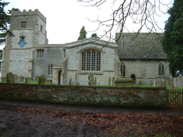
English: Church of England parish church of St Mary the Virgin, Childrey, Oxfordshire (formerly Berkshire) |
||
| Date | |||
| Source | https://www.geograph.org.uk/photo/113661 | ||
| Author | Colin Bates | ||
| Permission (Reusing this file) |
This file is licensed under the Creative Commons Attribution-Share Alike 2.0 Generic license. Attribution: Colin Bates
|

_region:GB-ENG_heading:0.00&language=en)
File history
Click on a date/time to view the file as it appeared at that time.
| Date/Time | Thumbnail | Dimensions | User | Comment | |
|---|---|---|---|---|---|
| current | 19:21, 3 May 2008 | | 640 × 481 (64 KB) | Polly (talk | contribs) | {{Information |Description=Church of St Mary the Virgin, Childrey |Source=http://www.geograph.org.uk/photo/113661 |Date=Thursday, 19 January, 2006 |Author=Colin Bates |Permission={{geograph|113661|Colin Bates}} |other_versions= }} [[Category:Geograph ima |
You cannot overwrite this file.
File usage on Commons
There are no pages that use this file.