File:Chile provinces.png
Jump to navigation
Jump to search
Size of this preview: 202 × 598 pixels. Other resolutions: 81 × 240 pixels | 477 × 1,413 pixels.
Original file (477 × 1,413 pixels, file size: 21 KB, MIME type: image/png)
Captions
Captions
Add a one-line explanation of what this file represents
Summary[edit]
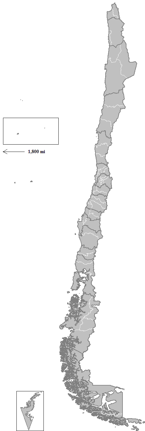
| Description | Map of the provinces of Chile. Created by Rarelibra 16:03, 11 April 2007 (UTC) for public domain use, using MapInfo Professional v8.5 and various mapping resources. |
| Date | 11 April 2007 (original upload date) |
| Source | No machine-readable source provided. Own work assumed (based on copyright claims). |
| Author | No machine-readable author provided. Rarelibra assumed (based on copyright claims). |
Licensing[edit]
| I, the copyright holder of this work, release this work into the public domain. This applies worldwide. In some countries this may not be legally possible; if so: I grant anyone the right to use this work for any purpose, without any conditions, unless such conditions are required by law. |
File history
Click on a date/time to view the file as it appeared at that time.
| Date/Time | Thumbnail | Dimensions | User | Comment | |
|---|---|---|---|---|---|
| current | 21:03, 6 September 2018 | 477 × 1,413 (21 KB) | Janitoalevic (talk | contribs) | Marga Marga province | |
| 01:01, 3 September 2018 | 477 × 1,413 (21 KB) | Janitoalevic (talk | contribs) | Improved & updated. | ||
| 23:29, 20 August 2017 | 477 × 1,413 (19 KB) | Janitoalevic (talk | contribs) | Removed Ñuble Region (Will be fully implemented in 2018) | ||
| 21:12, 15 August 2017 | 477 × 1,413 (19 KB) | Janitoalevic (talk | contribs) | New region and provinces added. | ||
| 00:46, 3 March 2016 | 477 × 1,413 (19 KB) | Janitoalevic (talk | contribs) | Added Navarino Island and Cape Horn | ||
| 14:29, 28 January 2008 | 465 × 1,410 (36 KB) | Rarelibra (talk | contribs) | updated map | ||
| 16:03, 11 April 2007 | 346 × 878 (18 KB) | Rarelibra (talk | contribs) | Map of the provinces of Chile. Created by ~~~~ for public domain use, using MapInfo Professional v8.5 and various mapping resources. |
You cannot overwrite this file.
File usage on Commons
The following 3 pages use this file:
File usage on other wikis
The following other wikis use this file:
- Usage on azb.wikipedia.org
- Usage on br.wikipedia.org
- Usage on da.wikipedia.org
- Usage on de.wikipedia.org
- Usage on en.wikipedia.org
- Usage on es.wikipedia.org
- Usage on fa.wikipedia.org
- Usage on fr.wikipedia.org
- Usage on fr.wiktionary.org
- Usage on he.wikipedia.org
- Usage on it.wikipedia.org
- Usage on ka.wikipedia.org
- Usage on ko.wikipedia.org
- Usage on nl.wikipedia.org
- Usage on no.wikipedia.org
- Usage on pt.wikipedia.org
- Usage on ro.wikipedia.org
- Usage on ru.wikipedia.org
- Usage on sh.wikipedia.org
- Usage on simple.wikipedia.org
- Usage on tr.wikipedia.org
- Usage on uk.wikipedia.org
- Usage on vi.wikipedia.org
- Usage on zh.wikipedia.org