File:DETAIL, SOUTH SIDE, FIRST PIER AT WEST END - Main Street Bridge, Main Street East, spanning Genesee River, Rochester, Monroe County, NY HAER NY,28-ROCH,43-11.tif
Jump to navigation
Jump to search

Size of this JPG preview of this TIF file: 726 × 599 pixels. Other resolutions: 291 × 240 pixels | 581 × 480 pixels | 930 × 768 pixels | 1,240 × 1,024 pixels | 2,480 × 2,048 pixels | 4,906 × 4,051 pixels.
Original file (4,906 × 4,051 pixels, file size: 18.96 MB, MIME type: image/tiff)
Captions
Captions
Add a one-line explanation of what this file represents
Summary[edit]
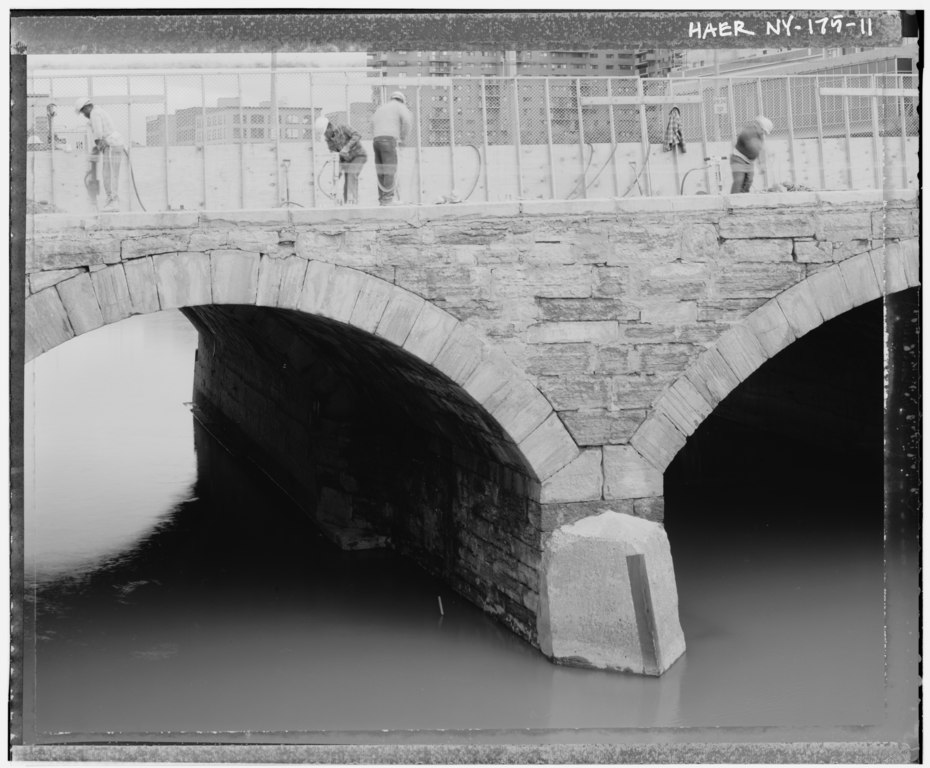
| DETAIL, SOUTH SIDE, FIRST PIER AT WEST END - Main Street Bridge, Main Street East, spanning Genesee River, Rochester, Monroe County, NY | ||||
|---|---|---|---|---|
| Title |
DETAIL, SOUTH SIDE, FIRST PIER AT WEST END - Main Street Bridge, Main Street East, spanning Genesee River, Rochester, Monroe County, NY |
|||
| Depicted place | New York; Monroe County; Rochester | |||
| Date | Documentation compiled after 1968 | |||
| Dimensions | 4 x 5 in. | |||
| Current location |
Library of Congress Prints and Photographs Division Washington, D.C. 20540 USA http://hdl.loc.gov/loc.pnp/pp.print |
|||
| Accession number |
HAER NY,28-ROCH,43-11 |
|||
| Credit line |
|
|||
| Notes |
|
|||
| References |
|
|||
| Source | https://www.loc.gov/pictures/item/ny1560.photos.117421p | |||
| Permission (Reusing this file) |
|
|||

| Object location | | View this and other nearby images on: OpenStreetMap |
|---|
File history
Click on a date/time to view the file as it appeared at that time.
| Date/Time | Thumbnail | Dimensions | User | Comment | |
|---|---|---|---|---|---|
| current | 18:52, 29 July 2014 |  | 4,906 × 4,051 (18.96 MB) | Fæ (talk | contribs) | GWToolset: Creating mediafile for Fæ. HABS 24 July 2014 (2301:2600) |
You cannot overwrite this file.
File usage on Commons
The following page uses this file: