File:DETAIL OF ABUTMENT BAS RELIEF PANEL. - Merritt Parkway, Burr Street Bridge, Spanning Merritt Parkway, Fairfield, Fairfield County, CT HAER CONN,1-FAIRF,19-2.tif
Jump to navigation
Jump to search
Size of this JPG preview of this TIF file: 800 × 575 pixels. Other resolutions: 320 × 230 pixels | 640 × 460 pixels | 1,024 × 736 pixels | 1,280 × 920 pixels | 2,560 × 1,840 pixels | 5,159 × 3,708 pixels.
Original file (5,159 × 3,708 pixels, file size: 18.25 MB, MIME type: image/tiff)
Captions
Captions
Add a one-line explanation of what this file represents
Summary[edit]
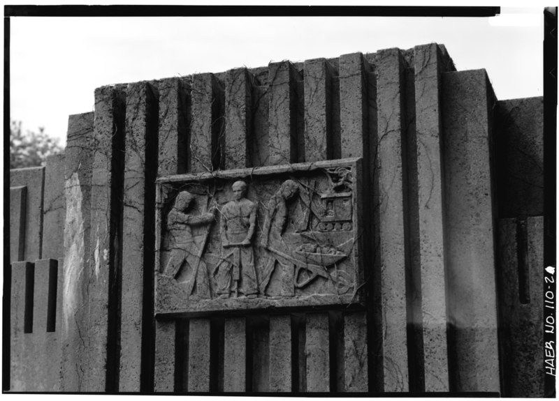
| DETAIL OF ABUTMENT BAS RELIEF PANEL. - Merritt Parkway, Burr Street Bridge, Spanning Merritt Parkway, Fairfield, Fairfield County, CT | ||||
|---|---|---|---|---|
| Photographer |
Related names:
|
|||
| Title |
DETAIL OF ABUTMENT BAS RELIEF PANEL. - Merritt Parkway, Burr Street Bridge, Spanning Merritt Parkway, Fairfield, Fairfield County, CT |
|||
| Depicted place | Connecticut; Fairfield County; Fairfield | |||
| Date | Documentation compiled after 1968 | |||
| Dimensions | 5 x 7 in. | |||
| Current location |
Library of Congress Prints and Photographs Division Washington, D.C. 20540 USA http://hdl.loc.gov/loc.pnp/pp.print |
|||
| Accession number |
HAER CONN,1-FAIRF,19-2 |
|||
| Credit line |
|
|||
| Notes |
|
|||
| Source | https://www.loc.gov/pictures/item/ct0531.photos.022169p | |||
| Permission (Reusing this file) |
|
|||

| Object location | | View this and other nearby images on: OpenStreetMap |
|---|
File history
Click on a date/time to view the file as it appeared at that time.
| Date/Time | Thumbnail | Dimensions | User | Comment | |
|---|---|---|---|---|---|
| current | 14:54, 8 July 2014 |  | 5,159 × 3,708 (18.25 MB) | Fæ (talk | contribs) | GWToolset: Creating mediafile for Fæ. HABS 06 July 2014 (611:700) |
You cannot overwrite this file.
File usage on Commons
The following page uses this file: