File:DETAIL VIEW OF DOWNSTREAM LOCK GATE. LOOKING NORTH NORTHWEST. - Illinois Waterway, Thomas J. O'Brien Lock and Control Works, East 130th Street, Chicago, Cook County, IL HAER IL-164-I-21.tif
Jump to navigation
Jump to search
Size of this JPG preview of this TIF file: 748 × 600 pixels. Other resolutions: 299 × 240 pixels | 599 × 480 pixels | 958 × 768 pixels | 1,277 × 1,024 pixels | 2,554 × 2,048 pixels | 4,998 × 4,008 pixels.
Original file (4,998 × 4,008 pixels, file size: 38.23 MB, MIME type: image/tiff)
Captions
Captions
Add a one-line explanation of what this file represents
Summary[edit]
| DETAIL VIEW OF DOWNSTREAM LOCK GATE. LOOKING NORTH NORTHWEST. - Illinois Waterway, Thomas J. O'Brien Lock and Control Works, East 130th Street, Chicago, Cook County, IL | ||||
|---|---|---|---|---|
| Photographer |
Grogan, Brian |
|||
| Title |
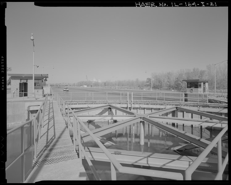
DETAIL VIEW OF DOWNSTREAM LOCK GATE. LOOKING NORTH NORTHWEST. - Illinois Waterway, Thomas J. O'Brien Lock and Control Works, East 130th Street, Chicago, Cook County, IL |
|||
| Description |
U.S. Army Corps of Engineers, Chicago District; Brown, G F; Fitz Simons and Connell Dredge and Dock Company; Merritt-Chapman and Scott Corporation; Lederer, Arthur; Randolph, Isham; O'Brien, Thomas J.; U.S. Army Corps of Engineers, Rock Island District, sponsor; Deiss, Ron, project manager; Lockett, Dana, project manager; Christianson, Justine, transmitter |
|||
| Depicted place | Illinois; Cook County; Chicago | |||
| Date | Documentation compiled after 1968; 2007 | |||
| Dimensions | 4 x 5 in. | |||
| Current location |
Library of Congress Prints and Photographs Division Washington, D.C. 20540 USA http://hdl.loc.gov/loc.pnp/pp.print |
|||
| Accession number |
HAER IL-164-I-21 |
|||
| Credit line |
|
|||
| Notes |
|
|||
| Source | https://www.loc.gov/pictures/item/il0933.photos.575449p | |||
| Permission (Reusing this file) |
|
|||

| Object location | | View this and other nearby images on: OpenStreetMap |
|---|
File history
Click on a date/time to view the file as it appeared at that time.
| Date/Time | Thumbnail | Dimensions | User | Comment | |
|---|---|---|---|---|---|
| current | 16:35, 9 February 2021 |  | 4,998 × 4,008 (38.23 MB) | AntiCompositeNumber (talk | contribs) | re-upload to fix corruption |
| 19:17, 17 July 2014 |  | 4,998 × 4,008 (15.63 MB) | Fæ (talk | contribs) | GWToolset: Creating mediafile for Fæ. HABS 16 July 2014 (1201:1400) |
You cannot overwrite this file.
File usage on Commons
The following page uses this file: