File:DETAIL VIEW OF LAMINATED AND UNLAMINATED CRIB WALL JUNCTION - Gregory Tailings (Ruins), State Highways 269 and 119, Black Hawk, Gilpin County, CO HAER COLO,24-BHAWK,1-12.tif
Jump to navigation
Jump to search
Size of this JPG preview of this TIF file: 751 × 599 pixels. Other resolutions: 301 × 240 pixels | 602 × 480 pixels | 963 × 768 pixels | 1,280 × 1,021 pixels | 2,560 × 2,043 pixels | 5,057 × 4,035 pixels.
Original file (5,057 × 4,035 pixels, file size: 19.46 MB, MIME type: image/tiff)
Captions
Captions
Add a one-line explanation of what this file represents
Summary[edit]
| DETAIL VIEW OF LAMINATED AND UNLAMINATED CRIB WALL JUNCTION - Gregory Tailings (Ruins), State Highways 269 and 119, Black Hawk, Gilpin County, CO | ||||
|---|---|---|---|---|
| Photographer |
Related names:
|
|||
| Title |
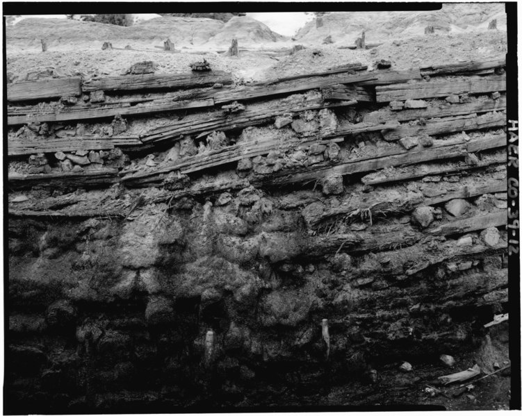
DETAIL VIEW OF LAMINATED AND UNLAMINATED CRIB WALL JUNCTION - Gregory Tailings (Ruins), State Highways 269 and 119, Black Hawk, Gilpin County, CO |
|||
| Depicted place | Colorado; Gilpin County; Black Hawk | |||
| Date | Documentation compiled after 1968 | |||
| Dimensions | 4 x 5 in. | |||
| Current location |
Library of Congress Prints and Photographs Division Washington, D.C. 20540 USA http://hdl.loc.gov/loc.pnp/pp.print |
|||
| Accession number |
HAER COLO,24-BHAWK,1-12 |
|||
| Credit line |
|
|||
| Notes |
|
|||
| References |
|
|||
| Source | https://www.loc.gov/pictures/item/co0202.photos.021350p | |||
| Permission (Reusing this file) |
|
|||

| Object location | | View this and other nearby images on: OpenStreetMap |
|---|
File history
Click on a date/time to view the file as it appeared at that time.
| Date/Time | Thumbnail | Dimensions | User | Comment | |
|---|---|---|---|---|---|
| current | 17:34, 8 July 2014 |  | 5,057 × 4,035 (19.46 MB) | Fæ (talk | contribs) | GWToolset: Creating mediafile for Fæ. HABS 05 July 2014 (501:600) |
You cannot overwrite this file.
File usage on Commons
The following page uses this file: