File:DETAIL VIEW OF UPSTREAM LOCK GATE. LOOKING EAST SOUTHEAST. - Illinois Waterway, Peoria Lock and Dam, 1071 Wesley Road, Creve Coeur, Tazewell County, IL HAER IL-164-B-13.tif
Jump to navigation
Jump to search

Size of this JPG preview of this TIF file: 744 × 600 pixels. Other resolutions: 298 × 240 pixels | 595 × 480 pixels | 953 × 768 pixels | 1,270 × 1,024 pixels | 2,540 × 2,048 pixels | 5,086 × 4,101 pixels.
Original file (5,086 × 4,101 pixels, file size: 39.81 MB, MIME type: image/tiff)
Captions
Captions
Add a one-line explanation of what this file represents
Summary[edit]
| DETAIL VIEW OF UPSTREAM LOCK GATE. LOOKING EAST SOUTHEAST. - Illinois Waterway, Peoria Lock and Dam, 1071 Wesley Road, Creve Coeur, Tazewell County, IL | ||||
|---|---|---|---|---|
| Photographer |
Grogan, Brian |
|||
| Title |
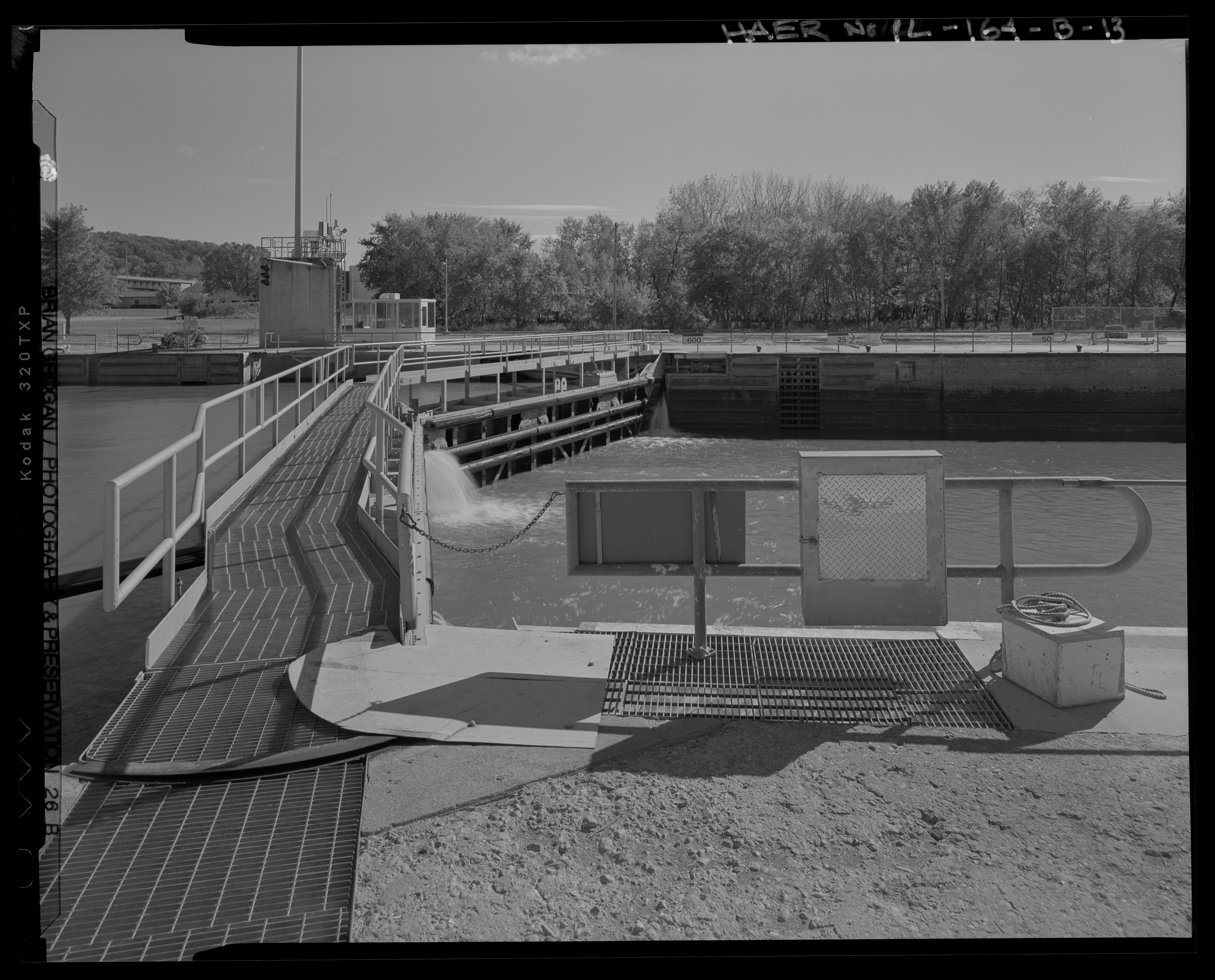
DETAIL VIEW OF UPSTREAM LOCK GATE. LOOKING EAST SOUTHEAST. - Illinois Waterway, Peoria Lock and Dam, 1071 Wesley Road, Creve Coeur, Tazewell County, IL |
|||
| Description |
U.S. Army Corps of Engineers, Chicago District; Griffin, A F; Farrar, Walter B; Le Gromwell, Paul; Great Lakes Dredge and Dock Company; C.A. Hooper Company; Calumet Shipyard and Dock Company; Hunter Steel Company; High Point Lumber Company; Carnegie-Illinois Steel Corporation; Chicago Wood Piling Company; Kingston Lake Gravel Company; Strobel Construction Company; A.H. Knudson and Company; U.S. Army Corps of Engineers, Rock Island District, sponsor; Lockett, Dana, project manager; Deiss, Ron, project manager; Christianson, Justine, transmitter |
|||
| Depicted place | Illinois; Tazewell County; Creve Coeur | |||
| Date | Documentation compiled after 1968; 2007 | |||
| Dimensions | 4 x 5 in. | |||
| Current location |
Library of Congress Prints and Photographs Division Washington, D.C. 20540 USA http://hdl.loc.gov/loc.pnp/pp.print |
|||
| Accession number |
HAER IL-164-B-13 |
|||
| Credit line |
|
|||
| Notes |
|
|||
| References |
|
|||
| Source | https://www.loc.gov/pictures/item/il0924.photos.575285p | |||
| Permission (Reusing this file) |
|
|||

| Object location | | View this and other nearby images on: OpenStreetMap |
|---|
The geographical information in this file was retrospectively estimated.
The location may therefore be somewhat imprecise. Verifying and refining these coordinates is strongly encouraged. |
File history
Click on a date/time to view the file as it appeared at that time.
| Date/Time | Thumbnail | Dimensions | User | Comment | |
|---|---|---|---|---|---|
| current | 18:01, 17 July 2014 |  | 5,086 × 4,101 (39.81 MB) | Fæ (talk | contribs) | GWToolset: Creating mediafile for Fæ. HABS 16 July 2014 (1201:1400) |
You cannot overwrite this file.
File usage on Commons
The following page uses this file: