File:Deception pass bridge.jpg
Jump to navigation
Jump to search

Size of this preview: 800 × 555 pixels. Other resolutions: 320 × 222 pixels | 640 × 444 pixels | 1,024 × 711 pixels | 1,280 × 889 pixels | 2,560 × 1,778 pixels | 4,564 × 3,169 pixels.
Original file (4,564 × 3,169 pixels, file size: 1.22 MB, MIME type: image/jpeg)
Captions
Captions
Add a one-line explanation of what this file represents
|
This is an image of a place or building that is listed on the National Register of Historic Places in the United States of America. Its reference number is 82004285. |
Summary[edit]
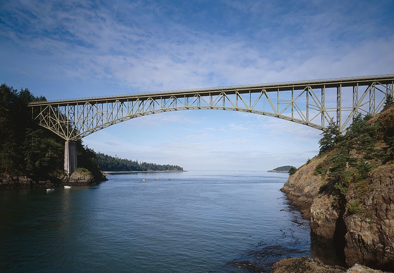
| Description | Deception Pass Bridge, Spanning Deception Pass at State Route 20, Anacortes vicinity, Skagit County, WA. Looking West from water level. | |||||||||||||||||||||||
| Date | ||||||||||||||||||||||||
| Source |
Historic American Engineering Record, Library of Congress HAER WASH,29-ANAC.V,2-8
|
|||||||||||||||||||||||
| Author |
|
|||||||||||||||||||||||

.jpg)
| Object location | | View this and other nearby images on: OpenStreetMap |
|---|
Licensing[edit]
| This image or media file contains material based on a work of a National Park Service employee, created as part of that person's official duties. As a work of the U.S. federal government, such work is in the public domain in the United States. See the NPS website and NPS copyright policy for more information. |
|
File history
Click on a date/time to view the file as it appeared at that time.
| Date/Time | Thumbnail | Dimensions | User | Comment | |
|---|---|---|---|---|---|
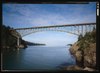
| current | 21:23, 28 September 2009 | | 4,564 × 3,169 (1.22 MB) | Martin H. (talk | contribs) | high res |
| 13:07, 4 February 2008 |  | 950 × 651 (104 KB) | Matthiasb (talk | contribs) | {{Information |Description={{en|Found on the Library of Congress web site. Not all images displayed in this catalog are in the public domain. The Library offers broad public access to these materials as a contribution to education and scholarship. [http |
You cannot overwrite this file.
File usage on Commons
The following 2 pages use this file:
File usage on other wikis
The following other wikis use this file:
- Usage on cs.wikipedia.org
- Usage on de.wikipedia.org
- Usage on en.wikipedia.org