File:Detail, of north end, from southeast. - Campbell's Bridge, Spanning Unami Creek at Allentown Road (State Route 4027), Milford Square, Bucks County, PA HAER PA,9-MILSQ.V,1-5.tif
Jump to navigation
Jump to search
Size of this JPG preview of this TIF file: 752 × 599 pixels. Other resolutions: 301 × 240 pixels | 602 × 480 pixels | 964 × 768 pixels | 1,280 × 1,020 pixels | 2,560 × 2,040 pixels | 5,000 × 3,985 pixels.
Original file (5,000 × 3,985 pixels, file size: 19 MB, MIME type: image/tiff)
Captions
Captions
Add a one-line explanation of what this file represents
Summary[edit]
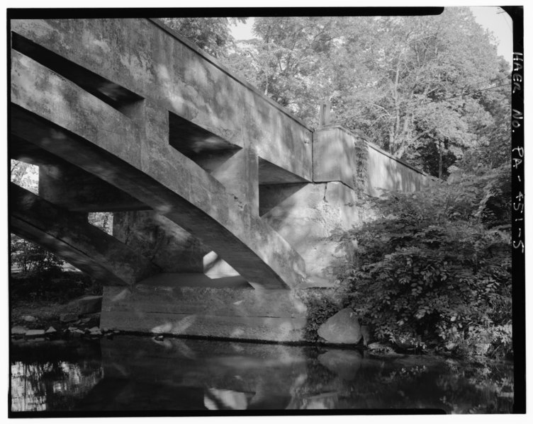
| Detail, of north end, from southeast. - Campbell's Bridge, Spanning Unami Creek at Allentown Road (State Route 4027), Milford Square, Bucks County, PA | ||||
|---|---|---|---|---|
| Photographer |
Elliott, Joseph |
|||
| Title |
Detail, of north end, from southeast. - Campbell's Bridge, Spanning Unami Creek at Allentown Road (State Route 4027), Milford Square, Bucks County, PA |
|||
| Description |
Dailey Construction Company; Martin, A Oscar; Bucks County Commissioners; DeLony, Eric N, project manager; Pennsylvania Department of Transportation, sponsor; Pennsylvania Historical and Museum Commission, sponsor; Brown, Mark M, historian; Elliott, Joseph E, B, photographer |
|||
| Depicted place | Pennsylvania; Bucks County; Milford Square | |||
| Date | 1992 | |||
| Dimensions | 4 x 5 in. | |||
| Current location |
Library of Congress Prints and Photographs Division Washington, D.C. 20540 USA http://hdl.loc.gov/loc.pnp/pp.print |
|||
| Accession number |
HAER PA,9-MILSQ.V,1-5 |
|||
| Credit line |
|
|||
| Notes |
|
|||
| References |
|
|||
| Source | https://www.loc.gov/pictures/item/pa3569.photos.361074p | |||
| Permission (Reusing this file) |
|
|||

| Object location | | View this and other nearby images on: OpenStreetMap |
|---|
File history
Click on a date/time to view the file as it appeared at that time.
| Date/Time | Thumbnail | Dimensions | User | Comment | |
|---|---|---|---|---|---|
| current | 03:48, 1 August 2014 |  | 5,000 × 3,985 (19 MB) | Fæ (talk | contribs) | GWToolset: Creating mediafile for Fæ. HABS 31 July 2014 (3000:3200) |
You cannot overwrite this file.
File usage on Commons
The following page uses this file: