File:Detail of numbering on Structure 22-9 - Havre Rainbow Transmission Line, Havre City to Great Falls vicinity, Montana, Great Falls, Cascade County, MT HAER mt-136-9.tif
Jump to navigation
Jump to search
Size of this JPG preview of this TIF file: 491 × 599 pixels. Other resolutions: 197 × 240 pixels | 393 × 480 pixels | 629 × 768 pixels | 839 × 1,024 pixels | 1,678 × 2,048 pixels | 4,309 × 5,259 pixels.
Original file (4,309 × 5,259 pixels, file size: 21.61 MB, MIME type: image/tiff)
Captions
Captions
Add a one-line explanation of what this file represents
Summary[edit]
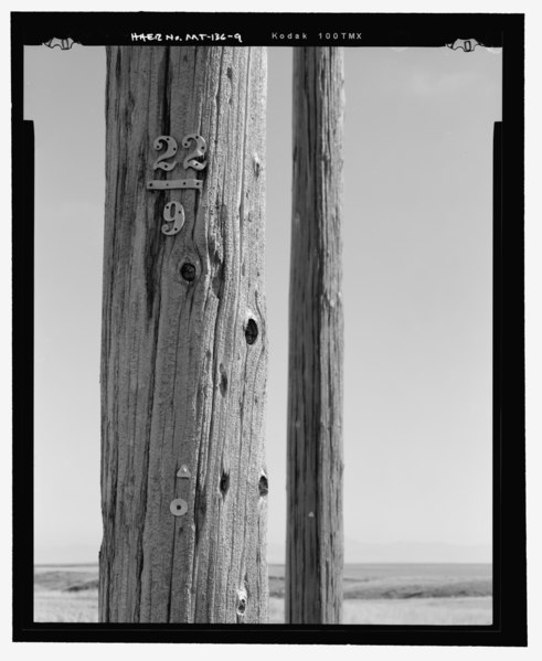
| Detail of numbering on Structure 22-9 - Havre Rainbow Transmission Line, Havre City to Great Falls vicinity, Montana, Great Falls, Cascade County, MT | ||||
|---|---|---|---|---|
| Photographer |
Brockenbrough, William |
|||
| Title |
Detail of numbering on Structure 22-9 - Havre Rainbow Transmission Line, Havre City to Great Falls vicinity, Montana, Great Falls, Cascade County, MT |
|||
| Depicted place | Montana; Cascade County; Great Falls | |||
| Date | 2006 | |||
| Dimensions | 4 x 5 in. | |||
| Current location |
Library of Congress Prints and Photographs Division Washington, D.C. 20540 USA http://hdl.loc.gov/loc.pnp/pp.print |
|||
| Accession number |
HAER mt-136-9 |
|||
| Credit line |
|
|||
| Notes |
|
|||
| Source | https://www.loc.gov/pictures/item/mt0477.photos.364349p | |||
| Permission (Reusing this file) |
|
|||

| Object location | | View this and other nearby images on: OpenStreetMap |
|---|
File history
Click on a date/time to view the file as it appeared at that time.
| Date/Time | Thumbnail | Dimensions | User | Comment | |
|---|---|---|---|---|---|
| current | 20:35, 28 July 2014 |  | 4,309 × 5,259 (21.61 MB) | Fæ (talk | contribs) | GWToolset: Creating mediafile for Fæ. HABS 24 July 2014 (2001:2300) |
You cannot overwrite this file.
File usage on Commons
The following page uses this file: