File:Detail view northwest showing switch panel, control room, west operator's house. - Yellow Mill Bridge, Spanning Yellow Mill Channel at Stratford Avenue, Bridgeport, Fairfield County, CT HAER CT-146-30.tif
Jump to navigation
Jump to search

Size of this JPG preview of this TIF file: 488 × 599 pixels. Other resolutions: 195 × 240 pixels | 391 × 480 pixels | 626 × 768 pixels | 834 × 1,024 pixels | 1,668 × 2,048 pixels | 4,354 × 5,345 pixels.
Original file (4,354 × 5,345 pixels, file size: 22.2 MB, MIME type: image/tiff)
Captions
Captions
Add a one-line explanation of what this file represents
Summary[edit]
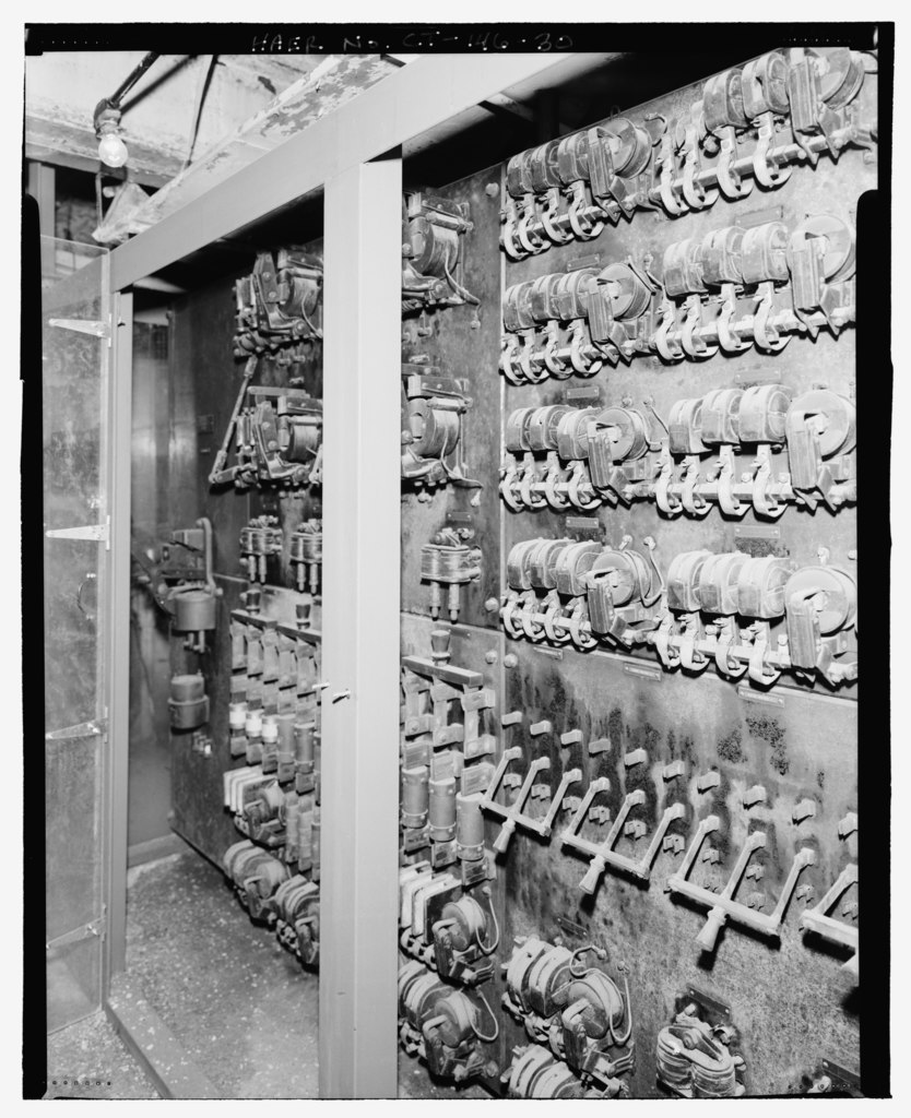
| Detail view northwest showing switch panel, control room, west operator's house. - Yellow Mill Bridge, Spanning Yellow Mill Channel at Stratford Avenue, Bridgeport, Fairfield County, CT | ||||
|---|---|---|---|---|
| Photographer |
Related names:
|
|||
| Title |
Detail view northwest showing switch panel, control room, west operator's house. - Yellow Mill Bridge, Spanning Yellow Mill Channel at Stratford Avenue, Bridgeport, Fairfield County, CT |
|||
| Depicted place | Connecticut; Fairfield County; Bridgeport | |||
| Date | Documentation compiled after 1968 | |||
| Dimensions | 4 x 5 in. | |||
| Current location |
Library of Congress Prints and Photographs Division Washington, D.C. 20540 USA http://hdl.loc.gov/loc.pnp/pp.print |
|||
| Accession number |
HAER CT-146-30 |
|||
| Credit line |
|
|||
| Notes |
|
|||
| Source | https://www.loc.gov/pictures/item/ct0584.photos.195101p | |||
| Permission (Reusing this file) |
|
|||

| Object location | | View this and other nearby images on: OpenStreetMap |
|---|
File history
Click on a date/time to view the file as it appeared at that time.
| Date/Time | Thumbnail | Dimensions | User | Comment | |
|---|---|---|---|---|---|
| current | 17:25, 8 July 2014 |  | 4,354 × 5,345 (22.2 MB) | Fæ (talk | contribs) | GWToolset: Creating mediafile for Fæ. HABS 06 July 2014 (611:700) |
You cannot overwrite this file.
File usage on Commons
The following page uses this file: