File:Duisburg, An der Vogelwiese, 2012-06 CN-03.jpg
Jump to navigation
Jump to search
Size of this preview: 800 × 495 pixels. Other resolutions: 320 × 198 pixels | 640 × 396 pixels | 1,024 × 634 pixels | 1,280 × 792 pixels | 2,560 × 1,585 pixels | 3,425 × 2,120 pixels.
Original file (3,425 × 2,120 pixels, file size: 5.09 MB, MIME type: image/jpeg)
Captions
Captions
Add a one-line explanation of what this file represents
| Description |
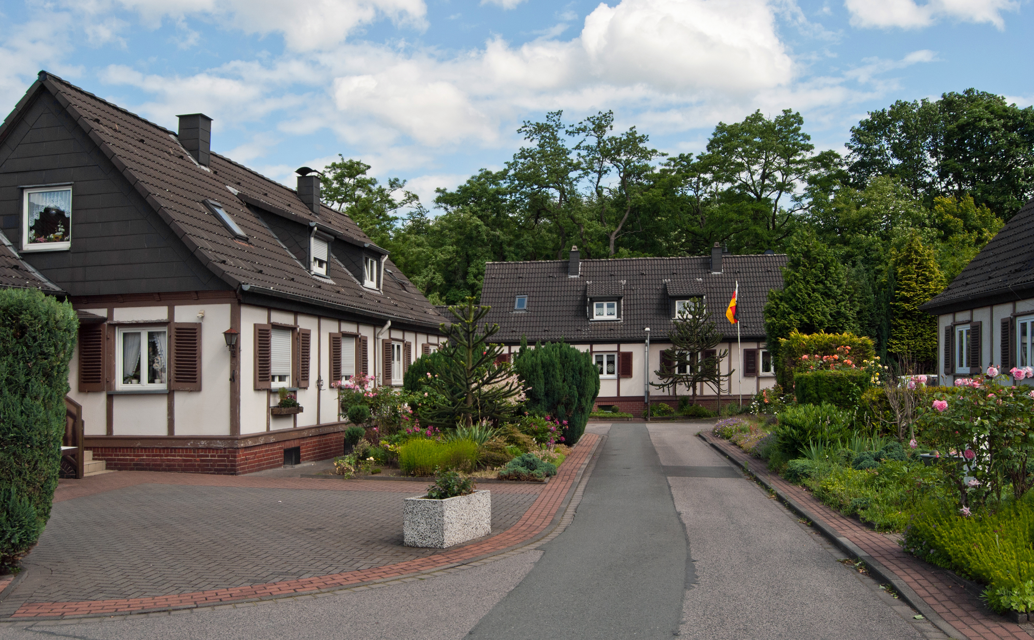
Deutsch: Duisburg (Nordrhein-Westfalen) – Stadtbezirk Meiderich/Beeck, Stadtteil Beeckerwerth – Fachwerkdoppelhaus-Siedlung „An der Vogelwiese“
English: Duisburg (North Rhine-Westphalia, Germany) – borough Meiderich/Beeck, district Beeckerwerth – colony "An der Vogelwiese"
This photograph was taken with a Nikon D3000 | |||
| Address |
|
|||
| Date | ||||
| Source | Own work | |||
| Author | kaʁstn Disk/Cat | |||
| Permission (Reusing this file) |
I, the copyright holder of this work, hereby publish it under the following licenses: This file is licensed under the Creative Commons Attribution-Share Alike 3.0 Germany license.

You may select the license of your choice. | |||
| Attribution (required by the license) | © Steffen Schmitz (Carschten) / Wikimedia Commons / | |||
| Other versions |
|


| Camera location | | View this and other nearby images on: OpenStreetMap |
|---|
File history
Click on a date/time to view the file as it appeared at that time.
| Date/Time | Thumbnail | Dimensions | User | Comment | |
|---|---|---|---|---|---|
| current | 21:12, 23 August 2013 | | 3,425 × 2,120 (5.09 MB) | Carschten (talk | contribs) | RAW-Entwicklung |
| 16:54, 16 June 2012 |  | 3,872 × 2,592 (1.2 MB) | Carschten (talk | contribs) |
You cannot overwrite this file.
File usage on Commons
The following 2 pages use this file: