File:Edward House and Dependencies (Ruins), Old House Road, Spring Island, Pinckney Landing, Beaufort County, SC HABS SC-868-36.tif
Jump to navigation
Jump to search
Size of this JPG preview of this TIF file: 800 × 583 pixels. Other resolutions: 320 × 233 pixels | 640 × 467 pixels | 1,024 × 747 pixels | 1,280 × 934 pixels | 2,560 × 1,867 pixels | 5,154 × 3,759 pixels.
Original file (5,154 × 3,759 pixels, file size: 18.48 MB, MIME type: image/tiff)
Captions
Captions
Add a one-line explanation of what this file represents
Summary[edit]
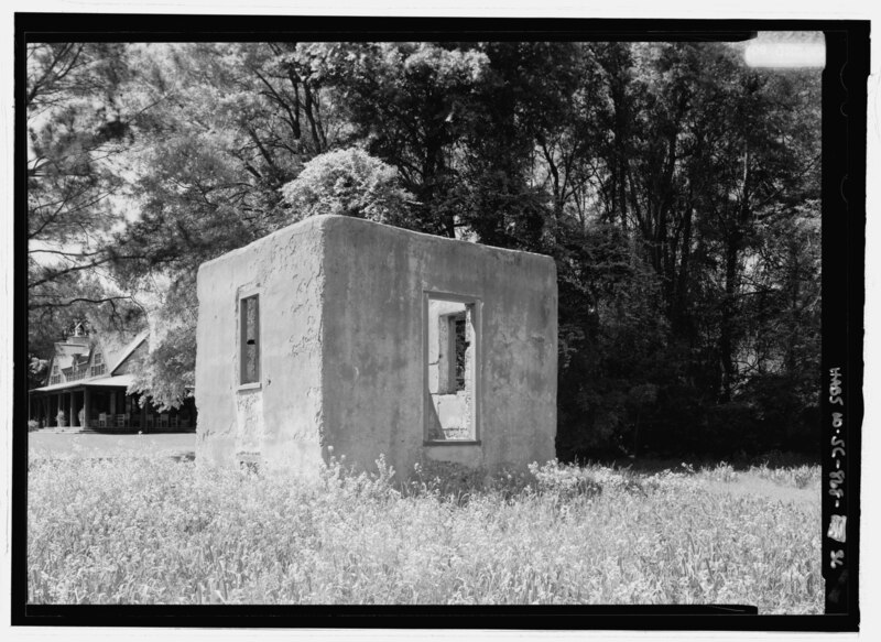
| - Edward House and Dependencies (Ruins), Old House Road, Spring Island, Pinckney Landing, Beaufort County, SC | ||||
|---|---|---|---|---|
| Title |
- Edward House and Dependencies (Ruins), Old House Road, Spring Island, Pinckney Landing, Beaufort County, SC |
|||
| Description |
Edwards, John; Barksdale, Mary Cochran; Edwards, George; Spring Island Company; Historic Beaufort Foundation, sponsor; Price, Virginia Barrett, transmitter; Boucher, Jack E, photographer; Brooker, Colin, historian |
|||
| Depicted place | South Carolina; Beaufort County; Pinckney Landing | |||
| Date | Documentation compiled after 1933 | |||
| Dimensions | 5 x 7 in. | |||
| Current location |
Library of Congress Prints and Photographs Division Washington, D.C. 20540 USA http://hdl.loc.gov/loc.pnp/pp.print |
|||
| Accession number |
HABS SC-868-36 |
|||
| Credit line |
|
|||
| Notes |
|
|||
| Source | https://www.loc.gov/pictures/item/sc1127.photos.214014p | |||
| Permission (Reusing this file) |
|
|||

File history
Click on a date/time to view the file as it appeared at that time.
| Date/Time | Thumbnail | Dimensions | User | Comment | |
|---|---|---|---|---|---|
| current | 21:20, 1 August 2014 |  | 5,154 × 3,759 (18.48 MB) | Fæ (talk | contribs) | GWToolset: Creating mediafile for Fæ. HABS 2014-08-01 (3201:3400) |
You cannot overwrite this file.
File usage on Commons
The following 2 pages use this file: