File:Eesti torva linn.png
Jump to navigation
Jump to search

Size of this preview: 800 × 532 pixels. Other resolutions: 320 × 213 pixels | 640 × 426 pixels | 1,024 × 682 pixels | 1,280 × 852 pixels | 2,500 × 1,664 pixels.
Original file (2,500 × 1,664 pixels, file size: 240 KB, MIME type: image/png)
Captions
Captions
Add a one-line explanation of what this file represents
Summary[edit]
| Description |
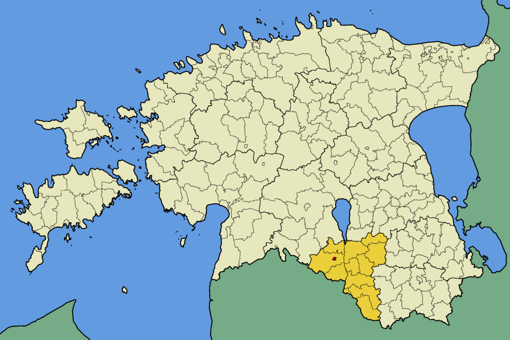
English: Map of Estonia with borders of municipalities (parishes). Valga county and Tõrva town municipality emphasized. |
| Date | |
| Source | Own work |
| Author | Mmh |
Licensing[edit]
I, the copyright holder of this work, hereby publish it under the following licenses:
This file is licensed under the Creative Commons Attribution-Share Alike 3.0 Unported license.
- You are free:
- to share – to copy, distribute and transmit the work
- to remix – to adapt the work
- Under the following conditions:
- attribution – You must give appropriate credit, provide a link to the license, and indicate if changes were made. You may do so in any reasonable manner, but not in any way that suggests the licensor endorses you or your use.
- share alike – If you remix, transform, or build upon the material, you must distribute your contributions under the same or compatible license as the original.

|
Permission is granted to copy, distribute and/or modify this document under the terms of the GNU Free Documentation License, Version 1.2 or any later version published by the Free Software Foundation; with no Invariant Sections, no Front-Cover Texts, and no Back-Cover Texts. A copy of the license is included in the section entitled GNU Free Documentation License. |
You may select the license of your choice.
File history
Click on a date/time to view the file as it appeared at that time.
| Date/Time | Thumbnail | Dimensions | User | Comment | |
|---|---|---|---|---|---|
| current | 23:16, 22 October 2013 | | 2,500 × 1,664 (240 KB) | Flying Saucer (talk | contribs) | correction |
| 02:55, 21 October 2013 |  | 2,500 × 1,664 (241 KB) | Flying Saucer (talk | contribs) | update | |
| 16:18, 9 November 2009 |  | 2,500 × 1,664 (83 KB) | Mmh (talk | contribs) | {{Information |Description={{en|1=Map of Estonia with borders of municipalities (parishes). Valga county and Tõrva town municipality emphasized.}} |Source={{own}} |Author=Mmh |Date=2009-11-08 |Permission= |other_versions= }} |
You cannot overwrite this file.
File usage on Commons
There are no pages that use this file.
File usage on other wikis
The following other wikis use this file: