File:FO Bahnnetz.png
Jump to navigation
Jump to search

Size of this preview: 800 × 493 pixels. Other resolutions: 320 × 197 pixels | 640 × 394 pixels | 1,024 × 631 pixels | 1,246 × 768 pixels.
Original file (1,246 × 768 pixels, file size: 168 KB, MIME type: image/png)
Captions
Captions
Add a one-line explanation of what this file represents
Summary[edit]
| Description |
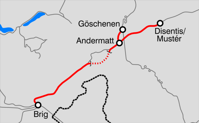
Italiano: Mappa della rete FO. |
||
| Source | Own work | ||
| Author | Arbalete | ||
| Permission (Reusing this file) |
I, the copyright holder of this work, hereby publish it under the following licenses: This file is licensed under the Creative Commons Attribution-Share Alike 3.0 Unported license.
You may select the license of your choice. |

File history
Click on a date/time to view the file as it appeared at that time.
| Date/Time | Thumbnail | Dimensions | User | Comment | |
|---|---|---|---|---|---|
| current | 15:06, 15 February 2011 | | 1,246 × 768 (168 KB) | Arbalete (talk | contribs) | {{Information |Description ={{it|1=Mappa della rete FO}} |Source ={{own}} |Author =Friedrichstrasse |Date =2011-02 |Permission = |other_versions = }} Category:Matterhorn Gotthard Bahn [[Categ |
You cannot overwrite this file.
File usage on Commons
The following page uses this file:
File usage on other wikis
The following other wikis use this file:
- Usage on de.wikipedia.org
- Usage on hy.wikipedia.org
- Usage on it.wikipedia.org
- Usage on ko.wikipedia.org
- Usage on www.wikidata.org