File:FRONT DOOR DETAIL - James B. Weeks House, 26 Pearl Street, Kingston, Ulster County, NY HABS NY,56-KING,26-6.tif
Jump to navigation
Jump to search

Size of this JPG preview of this TIF file: 425 × 599 pixels. Other resolutions: 170 × 240 pixels | 340 × 480 pixels | 545 × 768 pixels | 726 × 1,024 pixels | 1,453 × 2,048 pixels | 3,548 × 5,000 pixels.
Original file (3,548 × 5,000 pixels, file size: 16.92 MB, MIME type: image/tiff)
Captions
Captions
Add a one-line explanation of what this file represents
Summary[edit]
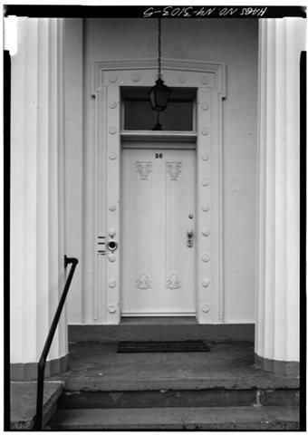
| FRONT DOOR DETAIL - James B. Weeks House, 26 Pearl Street, Kingston, Ulster County, NY | ||||
|---|---|---|---|---|
| Photographer |
Boucher, Jack E. |
|||
| Title |
FRONT DOOR DETAIL - James B. Weeks House, 26 Pearl Street, Kingston, Ulster County, NY |
|||
| Depicted place | New York; Ulster County; Kingston | |||
| Date | 1973 | |||
| Dimensions | 5 x 7 in. | |||
| Current location |
Library of Congress Prints and Photographs Division Washington, D.C. 20540 USA http://hdl.loc.gov/loc.pnp/pp.print |
|||
| Accession number |
HABS NY,56-KING,26-6 |
|||
| Credit line |
|
|||
| Notes |
|
|||
| Source | https://www.loc.gov/pictures/item/ny0833.photos.124152p | |||
| Permission (Reusing this file) |
|
|||

| Object location | | View this and other nearby images on: OpenStreetMap |
|---|
File history
Click on a date/time to view the file as it appeared at that time.
| Date/Time | Thumbnail | Dimensions | User | Comment | |
|---|---|---|---|---|---|
| current | 11:24, 29 July 2014 |  | 3,548 × 5,000 (16.92 MB) | Fæ (talk | contribs) | GWToolset: Creating mediafile for Fæ. HABS 24 July 2014 (2301:2600) |
You cannot overwrite this file.
File usage on Commons
The following page uses this file: