File:Falls Church Airpark 1951 USGS aerial view.jpg
Jump to navigation
Jump to search
Size of this preview: 800 × 412 pixels. Other resolutions: 320 × 165 pixels | 640 × 329 pixels | 1,055 × 543 pixels.
Original file (1,055 × 543 pixels, file size: 55 KB, MIME type: image/jpeg)
Captions
Captions
Add a one-line explanation of what this file represents
Summary[edit]
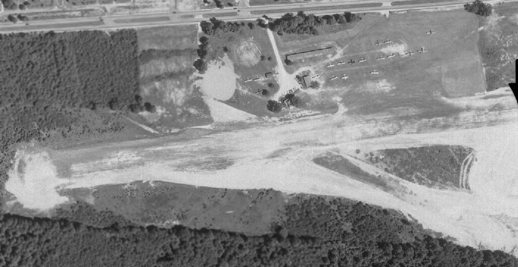
| Description |
English: Aerial imagery of Falls Church Airpark. |
||||||
| Date | circa 1950 | ||||||
| Source | http://www.airfields-freeman.com/ | ||||||
| Author | U.S. Geological Survey | ||||||
| Permission (Reusing this file) |
|
||||||

File history
Click on a date/time to view the file as it appeared at that time.
| Date/Time | Thumbnail | Dimensions | User | Comment | |
|---|---|---|---|---|---|
| current | 02:53, 25 March 2014 | | 1,055 × 543 (55 KB) | EdJF (talk | contribs) | User created page with UploadWizard |
You cannot overwrite this file.
File usage on Commons
There are no pages that use this file.
File usage on other wikis
The following other wikis use this file:
- Usage on en.wikipedia.org