File:Feature 8, paired culvert north end to south - Victory Highway, One Mile Segment West of West Wendover and South of Interstate 80, West Wendover, Elko County, NV HAER NV-41-20.tif
Jump to navigation
Jump to search
Size of this JPG preview of this TIF file: 743 × 599 pixels. Other resolutions: 298 × 240 pixels | 595 × 480 pixels | 952 × 768 pixels | 1,269 × 1,024 pixels | 2,538 × 2,048 pixels | 5,395 × 4,353 pixels.
Original file (5,395 × 4,353 pixels, file size: 22.4 MB, MIME type: image/tiff)
Captions
Captions
Add a one-line explanation of what this file represents
Summary[edit]
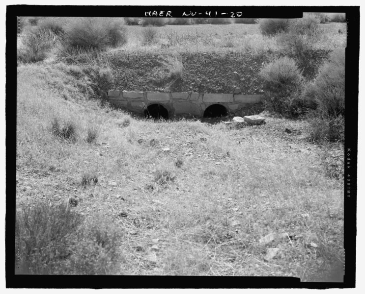
| Feature 8, paired culvert north end to south - Victory Highway, One Mile Segment West of West Wendover and South of Interstate 80, West Wendover, Elko County, NV | ||||
|---|---|---|---|---|
| Photographer |
Athearn, Dr. Frederic J. |
|||
| Title |
Feature 8, paired culvert north end to south - Victory Highway, One Mile Segment West of West Wendover and South of Interstate 80, West Wendover, Elko County, NV |
|||
| Depicted place | Nevada; Elko County; West Wendover | |||
| Date | 2006 | |||
| Dimensions | 4 x 5 in. | |||
| Current location |
Library of Congress Prints and Photographs Division Washington, D.C. 20540 USA http://hdl.loc.gov/loc.pnp/pp.print |
|||
| Accession number |
HAER NV-41-20 |
|||
| Credit line |
|
|||
| Notes |
|
|||
| Source | https://www.loc.gov/pictures/item/nv0394.photos.224662p | |||
| Permission (Reusing this file) |
|
|||

| Object location | | View this and other nearby images on: OpenStreetMap |
|---|
File history
Click on a date/time to view the file as it appeared at that time.
| Date/Time | Thumbnail | Dimensions | User | Comment | |
|---|---|---|---|---|---|
| current | 02:52, 29 July 2014 |  | 5,395 × 4,353 (22.4 MB) | Fæ (talk | contribs) | GWToolset: Creating mediafile for Fæ. HABS 24 July 2014 (2301:2600) |
You cannot overwrite this file.
File usage on Commons
The following page uses this file: