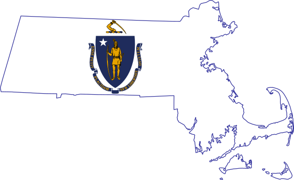
File:Flag-map of Massachusetts.svg
Jump to navigation
Jump to search

Size of this PNG preview of this SVG file: 602 × 369 pixels. Other resolutions: 320 × 196 pixels | 640 × 392 pixels | 1,024 × 628 pixels | 1,280 × 785 pixels | 2,560 × 1,569 pixels.
Original file (SVG file, nominally 602 × 369 pixels, file size: 239 KB)
Captions
Captions
Flag-map of Massachusetts
This W3C-unspecified vector image was created with Inkscape .
| Description | Flag-map of Massachusetts |
| Date | |
| Source | self-made using Image:Flag of Massachusetts.svg and Image:Map of Massachusetts highlighting Franklin County.svg |
| Author | Darwinek |
I, the copyright holder of this work, hereby publish it under the following licenses:
This file is licensed under the Creative Commons Attribution-Share Alike 3.0 Unported license.
- You are free:
- to share – to copy, distribute and transmit the work
- to remix – to adapt the work
- Under the following conditions:
- attribution – You must give appropriate credit, provide a link to the license, and indicate if changes were made. You may do so in any reasonable manner, but not in any way that suggests the licensor endorses you or your use.
- share alike – If you remix, transform, or build upon the material, you must distribute your contributions under the same or compatible license as the original.

|
Permission is granted to copy, distribute and/or modify this document under the terms of the GNU Free Documentation License, Version 1.2 or any later version published by the Free Software Foundation; with no Invariant Sections, no Front-Cover Texts, and no Back-Cover Texts. A copy of the license is included in the section entitled GNU Free Documentation License. |
You may select the license of your choice.
File history
Click on a date/time to view the file as it appeared at that time.
| Date/Time | Thumbnail | Dimensions | User | Comment | |
|---|---|---|---|---|---|
| current | 03:22, 3 July 2022 | | 602 × 369 (239 KB) | Flagvisioner (talk | contribs) | No explanation for revert. Reverted to version as of 06:21, 2 July 2022 (UTC) |
| 10:45, 2 July 2022 |  | 2,505 × 1,532 (239 KB) | John emil hernandez (talk | contribs) | Reverted to version as of 08:06, 1 July 2022 (UTC) | |
| 06:21, 2 July 2022 |  | 602 × 369 (239 KB) | Flagvisioner (talk | contribs) | Please provide an explanation for the revert. The outlining was re-added for the map to be visible, especially as a stub icon. Reverted to version as of 04:02, 30 June 2022 (UTC) | |
| 08:06, 1 July 2022 |  | 2,505 × 1,532 (239 KB) | John emil hernandez (talk | contribs) | Reverted to version as of 05:32, 29 June 2022 (UTC) | |
| 04:02, 30 June 2022 |  | 602 × 369 (239 KB) | Flagvisioner (talk | contribs) | The file you have uploaded can be found at File:Flag-map of Massachusetts (without outline).svg. Reverted to version as of 04:47, 28 June 2022 (UTC), since the map cannot be seen clearly without outlining. | |
| 05:32, 29 June 2022 |  | 2,505 × 1,532 (239 KB) | John emil hernandez (talk | contribs) | remove outline | |
| 04:47, 28 June 2022 |  | 602 × 369 (239 KB) | Flagvisioner (talk | contribs) | kept same style as previous versions with updates to flag. feel free to upload the revision as of 05:32, 13 June 2022 as a separate file. | |
| 05:32, 13 June 2022 |  | 2,523 × 1,549 (342 KB) | John emil hernandez (talk | contribs) | to match flags all us states | |
| 04:17, 10 January 2011 |  | 602 × 369 (145 KB) | Fry1989 (talk | contribs) | reduce | |
| 16:35, 23 June 2009 |  | 607 × 372 (202 KB) | Darwinek (talk | contribs) | {{Information |Description= |Source=self-made |Date= |Author= Darwinek |Permission= |other_versions= }} |
You cannot overwrite this file.
File usage on Commons
The following 3 pages use this file:
File usage on other wikis
The following other wikis use this file:
- Usage on cs.wikipedia.org
- Usage on cy.wikipedia.org
- Usage on en.wikipedia.org
- Talk:Boston
- Talk:Cranberry
- Talk:Digital Equipment Corporation
- Talk:John Adams
- Talk:John F. Kennedy
- Talk:John Ogonowski
- Talk:Massachusetts Institute of Technology
- Talk:New Kids on the Block
- Talk:Ralph Waldo Emerson
- Talk:Sylvia Plath
- Talk:Vinland
- Talk:John Hancock
- Talk:Tom Lehrer
- Talk:Cambridge, Massachusetts
- Talk:Pilgrims (Plymouth Colony)
- Talk:Thomas Kuhn
- Talk:John Alden
- Talk:John Quincy Adams
- Talk:E. E. Cummings
- Talk:Leonard P. Zakim Bunker Hill Memorial Bridge
- Talk:Nantucket
- Talk:Myles Standish
- Talk:USS Constitution
- Talk:Mary Baker Eddy
- Talk:John Boswell
- Talk:Puritans
- Talk:Black Francis
- Talk:Chargoggagoggmanchauggagoggchaubunagungamaugg
- Talk:Samuel Morse
- Talk:Dawson's Creek
- Talk:Big Dig
- Talk:Madeline Amy Sweeney
- Talk:Temperance movement
- Talk:Andover, Massachusetts
- Talk:Shawn Fanning
- Talk:Phillips Academy
- Talk:MIT OpenCourseWare
- Talk:Merrimack River
- Talk:Jack Lemmon
View more global usage of this file.