File:Flag-map of Prince Edward Island.svg
Jump to navigation
Jump to search

Size of this PNG preview of this SVG file: 800 × 386 pixels. Other resolutions: 320 × 154 pixels | 640 × 309 pixels | 1,024 × 494 pixels | 1,280 × 617 pixels | 2,560 × 1,235 pixels | 1,072 × 517 pixels.
Original file (SVG file, nominally 1,072 × 517 pixels, file size: 1.2 MB)
Captions
Captions
Add a one-line explanation of what this file represents
Summary[edit]
| Description |
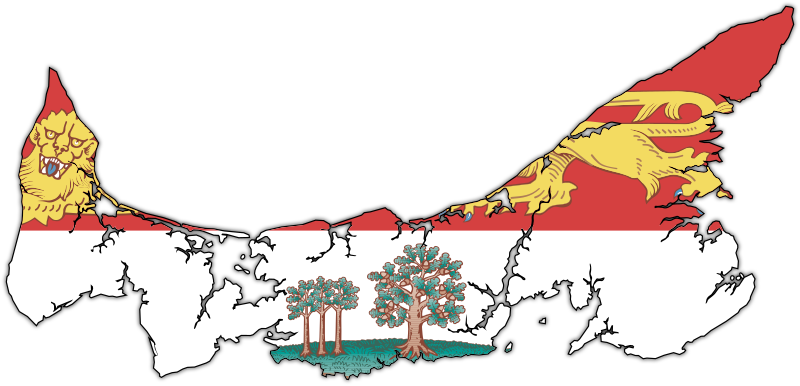
English: Flag-map of Prince Edward Island |
| Date | (UTC) |
| Source | |
| Author | |
| SVG development |
Licensing[edit]
This file is licensed under the Creative Commons Attribution-Share Alike 3.0 Unported license.
- You are free:
- to share – to copy, distribute and transmit the work
- to remix – to adapt the work
- Under the following conditions:
- attribution – You must give appropriate credit, provide a link to the license, and indicate if changes were made. You may do so in any reasonable manner, but not in any way that suggests the licensor endorses you or your use.
- share alike – If you remix, transform, or build upon the material, you must distribute your contributions under the same or compatible license as the original.
Original upload log[edit]
This image is a derivative work of the following images:
- File:Canada_Prince_Edward_Island_location_map.svg licensed with Cc-by-sa-3.0
- 2009-08-24T20:29:01Z NordNordWest 1039x822 (161580 Bytes) {{int:filedesc}} {{Information |Description= {{de|Positionskarte von [[:de:Prince Edward Island|Prince Edward Island]], [[:de:Kanada|Kanada]]}} Quadratische Plattkarte, N-S-Streckung 145 %. Geographische Begrenzung der Karte:
- File:Flag_of_Prince_Edward_Island.svg licensed with PD-self
- 2010-03-17T03:36:15Z Zscout370 1800x1200 (809356 Bytes) Compression
- 2009-12-15T20:59:09Z Zscout370 1800x1200 (1033860 Bytes) Combined some elements, now under 1 Meg.
- 2006-05-04T19:35:26Z Episteme 1800x1200 (1205255 Bytes) DOCTYPE added
- 2006-02-16T00:26:59Z Denelson83 1800x1200 (1205156 Bytes) Several defects fixed
- 2005-10-12T04:29:30Z E Pluribus Anthony 1800x1200 (622458 Bytes) Flag of Prince Edward Island
- 2005-10-09T07:23:17Z E Pluribus Anthony 1800x1200 (622572 Bytes) Flag of Prince Edward Island
- 2005-10-09T07:10:42Z E Pluribus Anthony 1800x1200 (622572 Bytes) Flag of Prince Edward Island
- File:PEI-flag_contour.png licensed with PD-self
- 2006-12-09T03:30:41Z Qyd 1035x495 (205909 Bytes) {{Information |Description=Contour of the province of [[Prince Edward Island]], [[Canada]], with flag overlay |Source=contour from GIS |Date=Oct 2006 |Author={{User|Qyd}} |Permission=PD |other_versions=None }} [[Category:Maps
Uploaded with derivativeFX
File history
Click on a date/time to view the file as it appeared at that time.
| Date/Time | Thumbnail | Dimensions | User | Comment | |
|---|---|---|---|---|---|
| current | 22:59, 9 May 2010 | | 1,072 × 517 (1.2 MB) | Svgalbertian (talk | contribs) | Changed angle of drop shadow. |
| 19:15, 9 May 2010 |  | 1,072 × 517 (1.2 MB) | Svgalbertian (talk | contribs) | Added drop shadow. | |
| 18:17, 9 May 2010 |  | 1,055 × 500 (1.15 MB) | Svgalbertian (talk | contribs) | == {{int:filedesc}} == {{Information |Description={{en|Flag-map of Prince Edward Island}} |Source=*File:Canada_Prince_Edward_Island_location_map.svg *File:Flag_of_Prince_Edward_Island.svg *File:PEI-flag_contour.png |Date=2010-05-09 18:15 |
You cannot overwrite this file.
File usage on Commons
The following 5 pages use this file:
File usage on other wikis
The following other wikis use this file:
- Usage on cy.wikipedia.org
- Usage on en.wikipedia.org
- Talk:Canadian English
- Talk:Anne of Green Gables
- Talk:Lucy Maud Montgomery
- Talk:French colonization of the Americas
- Talk:Prince Edward Island
- Talk:University of Prince Edward Island
- Talk:First Nations in Canada
- Abegweit Passage
- Talk:The Maritimes
- Talk:Acadian French
- Talk:Catherine Callbeck
- Talk:Charlottetown
- Talk:Acadians
- Talk:Anne Shirley
- Talk:Music of the Maritimes
- Talk:Samuel Holland (surveyor)
- Talk:Tignish
- Bonshaw, Prince Edward Island
- Talk:Music of Prince Edward Island
- Abegweit First Nation
- Talk:Léonce Bernard
- Talk:MV Abegweit (1947)
- Talk:Louis Henry Davies
- Talk:Gerard Gallant
- Talk:Brad Richards
- Talk:Charlottetown Islanders
- Talk:Rick Vaive
- Talk:Dominion Police
- Talk:Indigenous peoples in Canada
- Talk:Prince Edward Island National Park
- Talk:List of political scandals in Canada
- Skinners Pond, Prince Edward Island
- Talk:Expulsion of the Acadians
- Lot 1, Prince Edward Island
- Template:PrinceEdwardIsland-geo-stub
- Talk:List of Prince Edward Island senators
- Talk:Gulf of St. Lawrence
- Basin Head, Prince Edward Island
- Talk:Amber MacArthur
- Knutsford, Prince Edward Island
- Talk:Hurricane Juan
- Talk:Island Waste Management Corporation
- Talk:Flag of Prince Edward Island
- Union Road
- Talk:Cardigan (electoral district)
- Foxley River, Prince Edward Island
- Talk:List of colleges in Prince Edward Island
- Talk:Holland College
View more global usage of this file.