File:Floresta.svg
Jump to navigation
Jump to search

Size of this PNG preview of this SVG file: 500 × 348 pixels. Other resolutions: 320 × 223 pixels | 640 × 445 pixels | 1,024 × 713 pixels | 1,280 × 891 pixels | 2,560 × 1,782 pixels.
Original file (SVG file, nominally 500 × 348 pixels, file size: 41 KB)
Captions
Captions
Add a one-line explanation of what this file represents
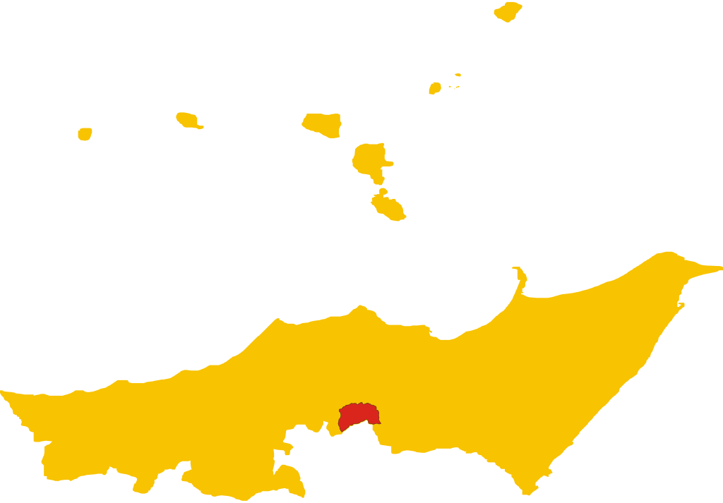
| Description | Posizione del comune all'interno della provincia |
| Date | (UTC) |
| Source | Own work |
| Author | Skyluke |
| SVG development |
| I, the copyright holder of this work, release this work into the public domain. This applies worldwide. In some countries this may not be legally possible; if so: I grant anyone the right to use this work for any purpose, without any conditions, unless such conditions are required by law. |
File history
Click on a date/time to view the file as it appeared at that time.
| Date/Time | Thumbnail | Dimensions | User | Comment | |
|---|---|---|---|---|---|
| current | 13:57, 5 December 2007 | | 500 × 348 (41 KB) | Skyluke (talk | contribs) | {{Information |Description=Posizione del comune all'interno della provincia |Source=Lavoro personale |Date=~~~~~ |Author=~~~ |Permission=Own work, all rights released (Public domain) |other_versions= }} {{PD-self}} [[Category:Maps of municipalities of t |
You cannot overwrite this file.
File usage on Commons
The following 2 pages use this file:
File usage on other wikis
The following other wikis use this file:
- Usage on ca.wikipedia.org
- Usage on es.wikipedia.org
- Usage on it.wikipedia.org