File:France map Lambert-93 with rivers and regions-blank.svg
Jump to navigation
Jump to search

Size of this PNG preview of this SVG file: 632 × 600 pixels. Other resolutions: 253 × 240 pixels | 506 × 480 pixels | 809 × 768 pixels | 1,079 × 1,024 pixels | 2,158 × 2,048 pixels | 2,000 × 1,898 pixels.
Original file (SVG file, nominally 2,000 × 1,898 pixels, file size: 980 KB)
Captions
Captions
Add a one-line explanation of what this file represents
Summary[edit]
| Camera location | | View this and other nearby images on: OpenStreetMap |
|---|
| Description |
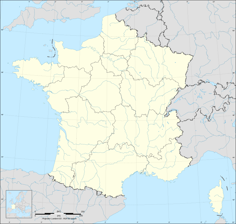
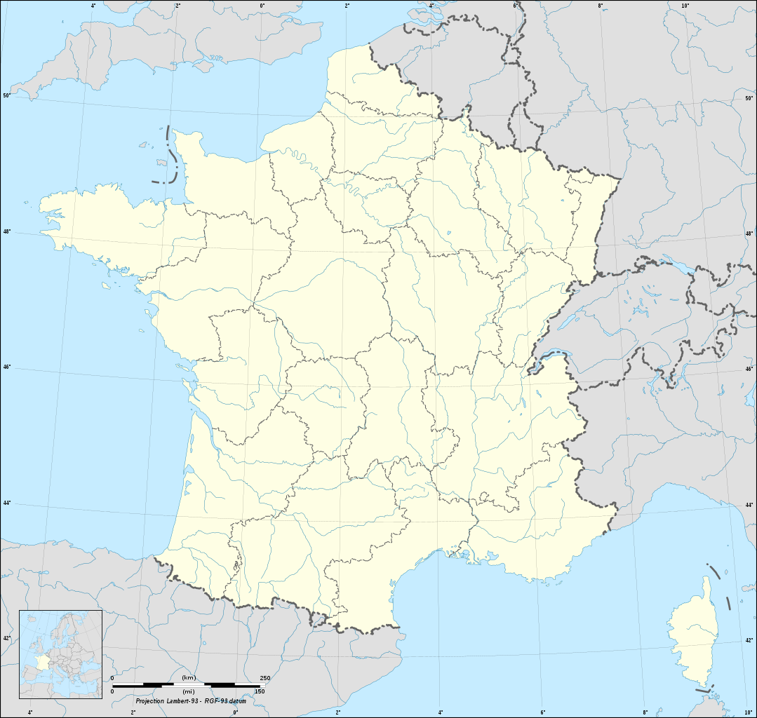
English: Blank map of France in the official Lambert-93 projection, with regions boundaries and rivers.
Français : Carte vierge de la France suivant la projection officielle Lambert-93, avec cours d'eau et limites des régions. Lambert-93 projection ; RGF-93 datum |
||
| Date | |||
| Source |
Own work
|
||
| Author | Eric Gaba (Sting - fr:Sting) | ||
| Permission (Reusing this file) |
|
||
| Other versions |
[]
Same map but with topography and bathymetry:
|
||
| SVG development |


Licensing[edit]
I, the copyright holder of this work, hereby publish it under the following licenses:

|
Permission is granted to copy, distribute and/or modify this document under the terms of the GNU Free Documentation License, Version 1.2 or any later version published by the Free Software Foundation; with no Invariant Sections, no Front-Cover Texts, and no Back-Cover Texts. A copy of the license is included in the section entitled GNU Free Documentation License. |
This file is licensed under the Creative Commons Attribution-Share Alike 4.0 International, 3.0 Unported, 2.5 Generic, 2.0 Generic and 1.0 Generic license.
- You are free:
- to share – to copy, distribute and transmit the work
- to remix – to adapt the work
- Under the following conditions:
- attribution – You must give appropriate credit, provide a link to the license, and indicate if changes were made. You may do so in any reasonable manner, but not in any way that suggests the licensor endorses you or your use.
- share alike – If you remix, transform, or build upon the material, you must distribute your contributions under the same or compatible license as the original.
You may select the license of your choice.
File history
Click on a date/time to view the file as it appeared at that time.
| Date/Time | Thumbnail | Dimensions | User | Comment | |
|---|---|---|---|---|---|
| current | 15:20, 19 October 2017 | | 2,000 × 1,898 (980 KB) | Sting (talk | contribs) | No borders over the Lake of Constance |
| 17:44, 13 November 2008 | No thumbnail | 2,000 × 1,898 (986 KB) | Sting (talk | contribs) | + boundary for Channel Islands ; - canals | |
| 04:40, 1 October 2008 |  | 2,000 × 1,898 (961 KB) | Sting (talk | contribs) | == Summary == {{Location|46|15|00|N|02|06|00|E|scale:10000000}} <br/> {{Information |Description={{en|Blank map of France in the official Lambert-93 projection, with regions boundaries and rivers.}} {{fr|Carte vierge de la [[:fr:France|Fran |
You cannot overwrite this file.
File usage on Commons
The following 13 pages use this file:
- User:Linguae
- File:France map Lambert-93-Maximum altitude.svg
- File:France map Lambert-93-blank.svg
- File:France map Lambert-93 topographic-blank.svg
- File:France map Lambert-93 topographic with regions-blank.svg
- File:France map Lambert-93 topographic with regions and departements-blank.svg
- File:France map Lambert-93 with regions-blank.svg
- File:France map Lambert-93 with regions and departments-blank.svg
- File:France map Lambert-93 with regions and departments polygons-blank.svg
- File:France map Lambert-93 with rivers-blank.svg
- File:France map Lambert-93 with rivers and regions-blank.svg
- File:Francia en Wikiviajes.svg
- Template:Other versions/France map Lambert-93
File usage on other wikis
The following other wikis use this file:
- Usage on fr.wikipedia.org
- Usage on ja.wikipedia.org