File:Fukaya in Saitama Prefecture Ja.svg

Original file (SVG file, nominally 628 × 360 pixels, file size: 14 KB)
Captions
Captions
Summary[edit]
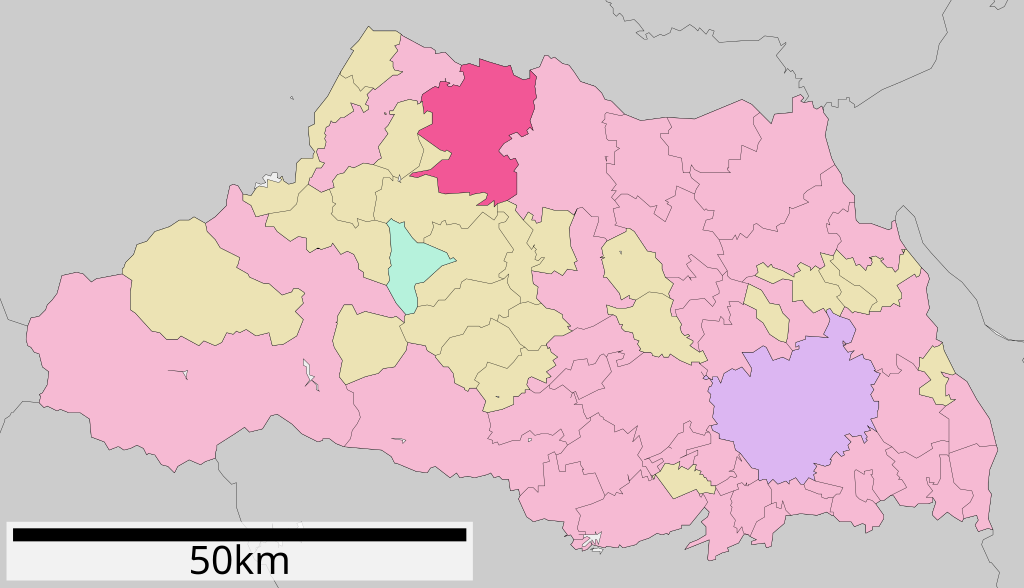
| Description |
日本語:
English: Location of Fukaya in Saitama Prefecture |
||
| Date | 17 September 2007 (original upload date) | ||
| Source | Transferred from ja.wikipedia to Commons. | ||
| Author | The original uploader was Lincun at Japanese Wikipedia. | ||
| Permission (Reusing this file) |
|
Licensing[edit]

|
Permission is granted to copy, distribute and/or modify this document under the terms of the GNU Free Documentation License, Version 1.2 or any later version published by the Free Software Foundation; with no Invariant Sections, no Front-Cover Texts, and no Back-Cover Texts. A copy of the license is included in the section entitled GNU Free Documentation License. |
- You are free:
- to share – to copy, distribute and transmit the work
- to remix – to adapt the work
- Under the following conditions:
- attribution – You must give appropriate credit, provide a link to the license, and indicate if changes were made. You may do so in any reasonable manner, but not in any way that suggests the licensor endorses you or your use.
- share alike – If you remix, transform, or build upon the material, you must distribute your contributions under the same or compatible license as the original.
Original upload log[edit]
- 2007-09-17 08:28 Lincun 800×512×0 (24515 bytes) {{基礎自治体位置図画像情報|埼玉県|深谷市}}
| This file was moved from Japanese Wikipedia.
See below for original file information. | ||||||||||||||||||||||||||||||||||||||||
| ||||||||||||||||||||||||||||||||||||||||
|
| ||||||||||||||||||||||||||||||||||||||||
File history
Click on a date/time to view the file as it appeared at that time.
| Date/Time | Thumbnail | Dimensions | User | Comment | |
|---|---|---|---|---|---|
| current | 15:17, 18 January 2020 | | 628 × 360 (14 KB) | Fgg11 (talk | contribs) | update |
| 17:36, 5 February 2008 |  | 800 × 512 (24 KB) | Arthena (talk | contribs) | {{Information |Description={{ja|*概要: 埼玉県深谷市位置図 *作成者: Lincun *使用データ: 国土交通省 国土数値情報(行政区域(N03)・湖沼(W09))}} {{en|Location of Fukaya in Saitama Prefecture}} |Source=Transferred from [ht |
You cannot overwrite this file.
File usage on Commons
The following 3 pages use this file:
File usage on other wikis
The following other wikis use this file:
- Usage on ar.wikipedia.org
- Usage on azb.wikipedia.org
- Usage on bg.wikipedia.org
- Usage on ce.wikipedia.org
- Usage on de.wikipedia.org
- Usage on en.wikipedia.org
- Usage on es.wikipedia.org
- Usage on fa.wikipedia.org
- Usage on fi.wikipedia.org
- Usage on gl.wikipedia.org
- Usage on it.wikipedia.org
- Usage on ja.wikipedia.org
- Usage on ko.wikipedia.org
- Usage on mzn.wikipedia.org
- Usage on nl.wikipedia.org
- Usage on pl.wikipedia.org
- Usage on ro.wikipedia.org
- Usage on sr.wikipedia.org
- Usage on sv.wikipedia.org
- Usage on th.wikipedia.org
- Usage on tt.wikipedia.org
- Usage on uk.wikipedia.org
- Usage on vi.wikipedia.org
- Usage on www.wikidata.org
- Usage on zh-classical.wikipedia.org
- Usage on zh-min-nan.wikipedia.org
- Usage on zh.wikipedia.org