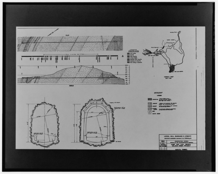
File:GEOLOGY, PLAN AND PROFILE, SHOWING LINED AND UNLINED SECTIONS, AND DETAILED TYPICAL CROSS SECTIONS. Leeds, Hill, Barnard and Jewett drawing, no number, revised 3-20-42. - HAER CAL,40-SANLO.V,1-20.tif
Jump to navigation
Jump to search
Size of this JPG preview of this TIF file: 751 × 600 pixels. Other resolutions: 301 × 240 pixels | 601 × 480 pixels | 962 × 768 pixels | 1,280 × 1,022 pixels | 2,560 × 2,044 pixels | 5,000 × 3,993 pixels.
Original file (5,000 × 3,993 pixels, file size: 19.04 MB, MIME type: image/tiff)
Captions
Captions
Add a one-line explanation of what this file represents
Summary[edit]
| Photographer |
DeVries, David G. Related names:
|
|||
| Title |
GEOLOGY, PLAN AND PROFILE, SHOWING LINED AND UNLINED SECTIONS, AND DETAILED TYPICAL CROSS SECTIONS. Leeds, Hill, Barnard and Jewett drawing, no number, revised 3-20-42. - Salinas River Project, Cuesta Tunnel, Southeast of U.S. 101, San Luis Obispo, San Luis Obispo County, CA |
|||
| Depicted place | California; San Luis Obispo County; San Luis Obispo | |||
| Date | 1994 | |||
| Dimensions | 8 x 10 in. | |||
| Current location |
Library of Congress Prints and Photographs Division Washington, D.C. 20540 USA http://hdl.loc.gov/loc.pnp/pp.print |
|||
| Accession number |
HAER CAL,40-SANLO.V,1-20 |
|||
| Credit line |
|
|||
| Notes |
|
|||
| Source | https://www.loc.gov/pictures/item/ca1981.photos.042461p | |||
| Permission (Reusing this file) |
|

| Object location | | View this and other nearby images on: OpenStreetMap |
|---|
File history
Click on a date/time to view the file as it appeared at that time.
| Date/Time | Thumbnail | Dimensions | User | Comment | |
|---|---|---|---|---|---|
| current | 08:04, 5 July 2014 |  | 5,000 × 3,993 (19.04 MB) | Fæ (talk | contribs) | GWToolset: Creating mediafile for Fæ. HABS 05 July 2014 (401:500) |
You cannot overwrite this file.
File usage on Commons
The following page uses this file: