File:Haebaru in Okinawa Prefecture Ja.svg
Jump to navigation
Jump to search

Size of this PNG preview of this SVG file: 736 × 600 pixels. Other resolutions: 295 × 240 pixels | 589 × 480 pixels | 942 × 768 pixels | 1,257 × 1,024 pixels | 2,513 × 2,048 pixels.
Original file (SVG file, nominally 800 × 652 pixels, file size: 21 KB)
Captions
Captions
Add a one-line explanation of what this file represents
Summary[edit]
| Description |
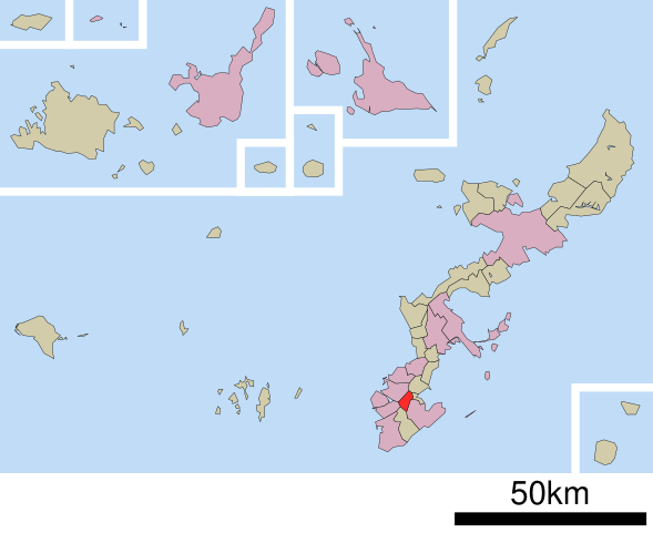
English: Location of Haebaru in Okinawa Prefecture
|
||
| Date | (UTC) | ||
| Source |
|
||
| Author | Lincun | ||
| Permission (Reusing this file) |
|
Licensing[edit]

|
Permission is granted to copy, distribute and/or modify this document under the terms of the GNU Free Documentation License, Version 1.2 or any later version published by the Free Software Foundation; with no Invariant Sections, no Front-Cover Texts, and no Back-Cover Texts. A copy of the license is included in the section entitled GNU Free Documentation License. |
This file is licensed under the Creative Commons Attribution-Share Alike 3.0 Unported license.
- You are free:
- to share – to copy, distribute and transmit the work
- to remix – to adapt the work
- Under the following conditions:
- attribution – You must give appropriate credit, provide a link to the license, and indicate if changes were made. You may do so in any reasonable manner, but not in any way that suggests the licensor endorses you or your use.
- share alike – If you remix, transform, or build upon the material, you must distribute your contributions under the same or compatible license as the original.
File history
Click on a date/time to view the file as it appeared at that time.
| Date/Time | Thumbnail | Dimensions | User | Comment | |
|---|---|---|---|---|---|
| current | 16:41, 5 January 2017 | | 800 × 652 (21 KB) | De728631 (talk | contribs) | better contrast |
| 05:04, 4 May 2009 |  | 800 × 652 (14 KB) | Monaneko (talk | contribs) | {{Information |Description={{en|1=Location of Haebaru in Okinawa Prefecture}} {{ja|1=沖縄県島尻郡南風原町の位置}} |Source=ja:File:基礎自治体位置図 47350.svg |Author=ja:User:Lincun |Date=2007-09-19 12:54 (UTC) |Permission=GFD | |
| 12:54, 19 September 2007 |  | 800 × 652 (14 KB) | Lincun (talk | contribs) | {{基礎自治体位置図画像情報|沖縄県|南風原町}} |
You cannot overwrite this file.
File usage on Commons
The following 3 pages use this file:
File usage on other wikis
The following other wikis use this file:
- Usage on arz.wikipedia.org
- Usage on en.wikipedia.org
- Usage on fa.wikipedia.org
- Usage on id.wikipedia.org
- Usage on it.wikipedia.org
- Usage on ja.wikipedia.org
- Usage on ko.wikipedia.org
- Usage on sv.wikipedia.org
- Usage on uk.wikipedia.org
- Usage on www.wikidata.org
- Usage on zh.wikipedia.org